UN/LOCODE hub · Japan
JPQIK

Kamiita, Tokushima

34.1167°, 134.4000°
1
Transport functions

Transport Functions

Multimodal
UN/LOCODE

Hub Profile

Region
36
GeoNames

Location

Location of JPQIK
Natural Earth 10m (public domain) · 36 · JPQIK · 34.12, 134.40GoogleOSMYandex

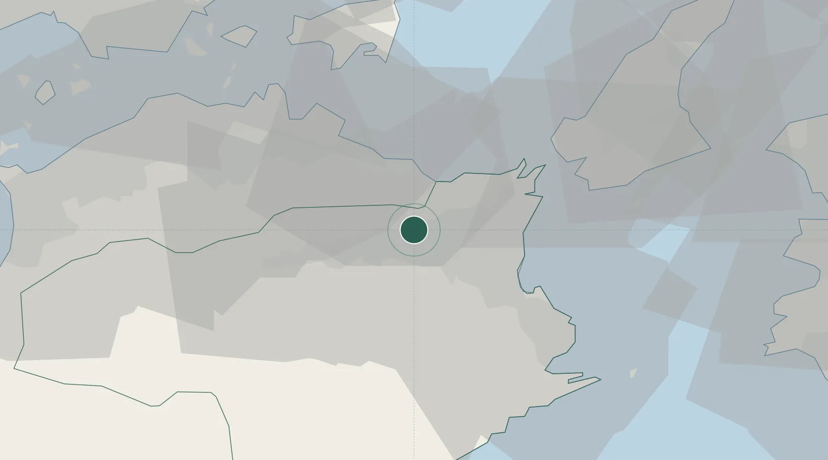
Nearby Logistics Neighbours

Cities
  1. 1Yoshinogawa Tokushima18 km
  2. 2Tokushima19 km
  3. 3Komatsushima25 km
  4. 4Kamikatsu, Tokushima26 km
  5. 5Sanuki31 km
Nearest neighbours — logibook spatial index (haversine) over the source coordinates
Ports
  1. 1Komatsushima22 km
  2. 2Tachibana37 km
  3. 3Takamatsu41 km
  4. 4Sakaide Ko56 km
  5. 5Hibi Ko57 km
Nearest neighbours — logibook spatial index (haversine) over the source coordinates
Airports
  1. 1Tokushima Awaodori Airport / JMSDF Tokushima Air Base19 km
  2. 2Takamatsu Airport37 km
  3. 3Kansai International Airport85 km
  4. 4Okayama Momotaro Airport87 km
  5. 5Kochi Ryoma Airport93 km
Nearest neighbours — logibook spatial index (haversine) over the source coordinates
DatabookThe Record of Consolidated Knowledge
Japan beyond logistics?
Browse databook

All Sources

LocationsUN/LOCODE
UN/LOCODE — free
Portsthe NGA World Port Index
Public domain (US gov)
AirportsOurAirports
Public domain
Trade Zonesthe World Bank SEZ database
CC BY 4.0
Trade ZonesOpen Zone Map
CC BY
← Japan locations