Transport Functions
Multimodal
Hub Profile
Place type
Populated place
Region
Van
Time zone
Europe/Istanbul
Elevation
2,105 m
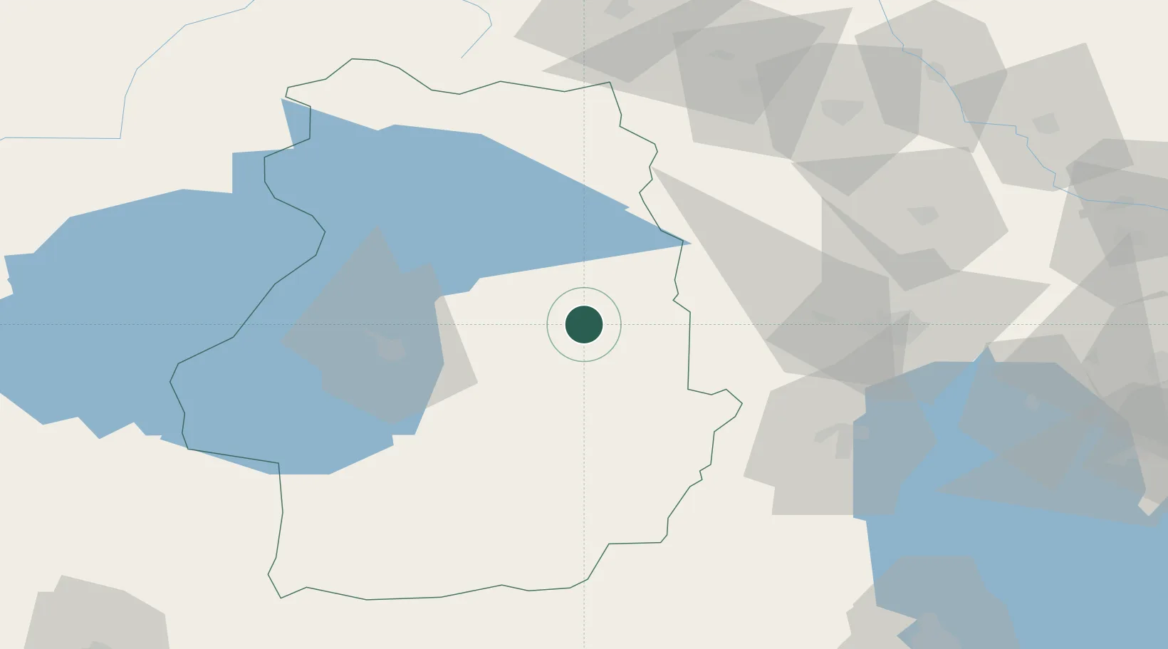
Location
Nearby Logistics Neighbours
Cities
- 1Kapiköy30 km
- 2Ercis72 km
- 3Dogubayazit106 km
- 4Cihangir124 km
- 5Naxcivan129 km
Ports
- 1Hopa383 km
- 2Batumi394 km
- 3Rize404 km
- 4Supsa Marine Terminal435 km
- 5Trabzon449 km
Airports
- 1Van Ferit Melen Airport57 km
- 2Maku National Airport107 km
- 3Hakkari Yüksekova Airport117 km
- 4Urmia Airport140 km
- 5Ağrı Airport144 km
Trade Zones
DatabookThe Record of Consolidated Knowledge
Türkiye beyond logistics?