Large airport · Togo

Niamtougou International AirportDXNG
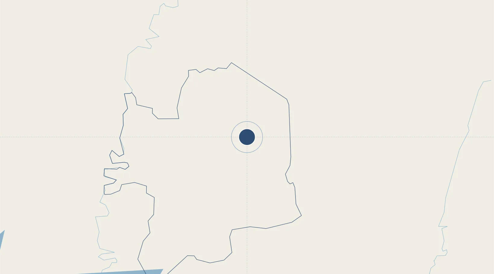
9.7667°, 1.0909°
8,202 ft
Longest runway
1
Runways
1,515 ft
Elevation

Runway & Layout

Niamtougou International Airport runway & taxiway layout
Runway & taxiway layout — OpenStreetMap (ODbL) / OurAirports

Radio Frequencies

TWR
118.3 MHz
A/G
122.6 MHz
A/G VOICE RDO
AFIS
658.6 MHz
OurAirports

Navaids

NT VOR-DME Niamtougou 113.20 MHz
OurAirports

Runways · 1

RunwayDimensions SurfaceTrue headingLit
03/21 8,202 × 148ft Concrete 022°
OurAirports

Airport Specifications

IATA code
LRL
OurAirports
ICAO code
DXNG
OurAirports
Airport class
Large airport
OurAirports
Scheduled service
No
OurAirports
Runway surface
Concrete
OurAirports
Served city
Niamtougou
OurAirports

Location

Location of DXNG
Natural Earth 10m (public domain) · Kara · DXNG · 9.77, 1.09GoogleOSMYandex

Nearby Logistics Neighbours

Airports
  1. 1Tourou International Airport161 km
  2. 2Yakubu Tali International Airport216 km
  3. 3Ho Airport360 km
  4. 4Lomé–Tokoin International Airport401 km
  5. 5General Tunde Idiagbon International Airport402 km
Nearest neighbours — logibook spatial index (haversine) over the source coordinates
Cities
  1. 1Gumani207 km
  2. 2Glazoué240 km
  3. 3Bolgatanga241 km
  4. 4Bohicon305 km
  5. 5Adekunle323 km
Nearest neighbours — logibook spatial index (haversine) over the source coordinates
Ports
  1. 1Kpeme399 km
  2. 2Lome405 km
  3. 3Cotonou408 km
  4. 4Lagos453 km
  5. 5Tin Can Island454 km
Nearest neighbours — logibook spatial index (haversine) over the source coordinates
Trade Zones
  1. 1Tamale Industrial Park219 km
  2. 2Allada Special Agro-Industrial Zone366 km
  3. 3Glo-Djigbé Special Economic Zone374 km
  4. 4Ogun Guangdong Free Trade Zone382 km
  5. 5Adétikopé Industrial Platform382 km
Nearest neighbours — logibook spatial index (haversine) over the source coordinates
DatabookThe Record of Consolidated Knowledge
Togo beyond logistics?
Browse databook

All Sources

AirportsOurAirports
Public domain
Portsthe NGA World Port Index
Public domain (US gov)
LocationsUN/LOCODE
UN/LOCODE — free
Trade Zonesthe World Bank SEZ database
CC BY 4.0
Trade ZonesOpen Zone Map
CC BY
InfrastructureOpenStreetMap
ODbL 1.0
← Togo airports