Export Processing Zone · Ghana

Tamale Industrial Park Inactive
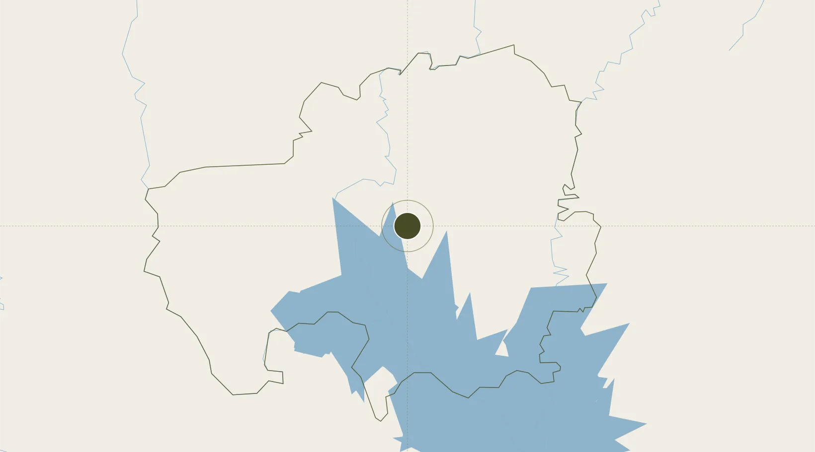
9.3840°, -0.8649°
6 ha
Zone area
428.3 km
Nearest port
18.9 km
Nearest airport

Gateway access

Nearest neighbours — logibook spatial index (haversine) over the source coordinates

Zone profile

Zone type
Export Processing Zone
Open Zone Map
Region
Northern
Open Zone Map
Status
Inactive
Open Zone Map
Management
Public
Open Zone Map
Operator
Ministry of Trade and Industry
Open Zone Map
Legal framework
Ghana Free Zone Act of 1995
Open Zone Map

Location

Location of ozm-2045
Natural Earth 10m (public domain) · Northern · ozm-2045 · 9.38, -0.86GoogleOSMYandex

Nearby Logistics Neighbours

Ports
  1. 1Tema428 km
  2. 2Lome432 km
  3. 3Kpeme441 km
  4. 4Saltpond466 km
  5. 5Cotonou496 km
Nearest neighbours — logibook spatial index (haversine) over the source coordinates
Airports
  1. 1Yakubu Tali International Airport19 km
  2. 2Niamtougou International Airport219 km
  3. 3Sunyani Airport277 km
  4. 4Prempeh I International Airport307 km
  5. 5Ouagadougou Thomas Sankara International Airport338 km
Nearest neighbours — logibook spatial index (haversine) over the source coordinates
Cities
  1. 1Gumani13 km
  2. 2Bolgatanga156 km
  3. 3Mim334 km
  4. 4Ahinsan347 km
  5. 5Koudougou357 km
Nearest neighbours — logibook spatial index (haversine) over the source coordinates
Trade Zones
  1. 1Ashanti Technology Park305 km
  2. 2Diverse Activities Zone of Ouagadougou336 km
  3. 3Goughin Industrial Zone340 km
  4. 4Kossodo Industrial Zone345 km
  5. 5Adétikopé Industrial Platform409 km
Nearest neighbours — logibook spatial index (haversine) over the source coordinates
DatabookThe Record of Consolidated Knowledge
Ghana beyond logistics?
Browse databook

All Sources

Trade ZonesOpen Zone Map
CC BY
Portsthe NGA World Port Index
Public domain (US gov)
AirportsOurAirports
Public domain
LocationsUN/LOCODE
UN/LOCODE — free
← Ghana trade zones