Transport Functions
Multimodal
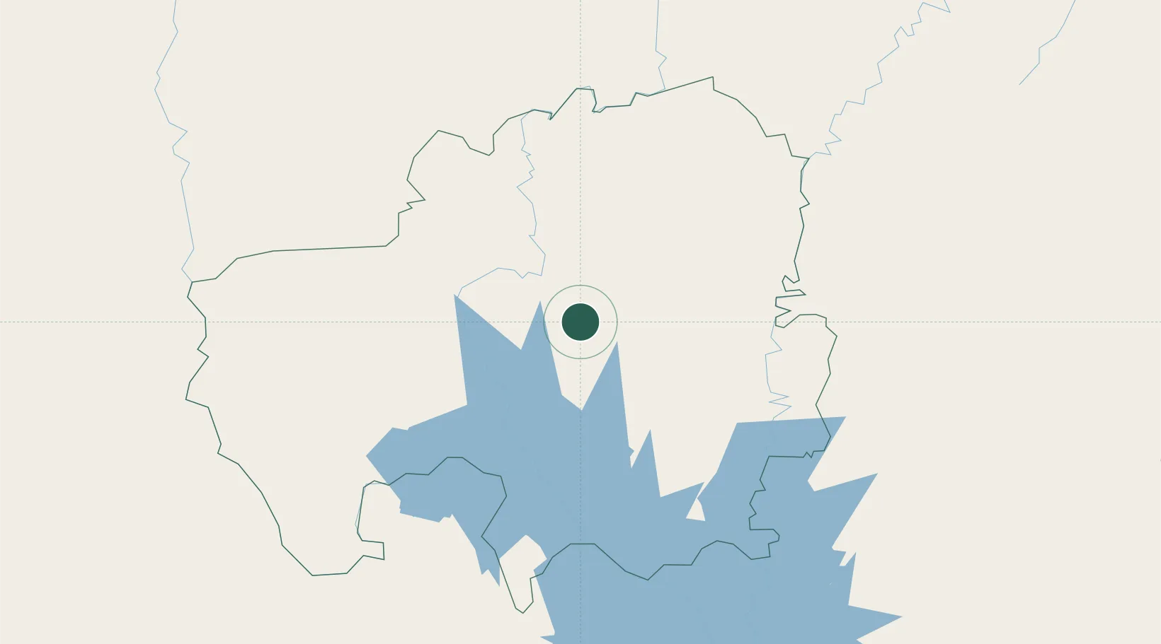
Hub Profile
Place type
Populated place
Region
Northern
Time zone
Africa/Accra
Elevation
153 m
Location
Nearby Logistics Neighbours
Cities
- 1Bolgatanga149 km
- 2Mim346 km
- 3Ziniaré353 km
- 4Koudougou355 km
- 5Ahinsan356 km
Airports
Trade Zones
- 1Tamale Industrial Park13 km
- 2Ashanti Technology Park314 km
- 3Diverse Activities Zone of Ouagadougou331 km
- 4Goughin Industrial Zone335 km
- 5Kossodo Industrial Zone340 km
DatabookThe Record of Consolidated Knowledge
Ghana beyond logistics?