Large airport · Ghana
Yakubu Tali International AirportDGLE
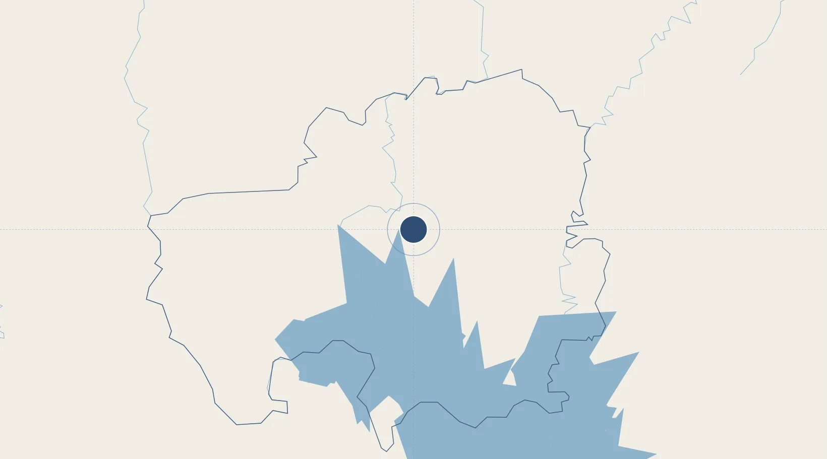
9.5539°, -0.8661°
7,999 ft
Longest runway
1
Runways
553 ft
Elevation
Runway & Layout

Radio Frequencies
ATIS
118.1 MHz
TWR
119.1 MHz
APP
120.4 MHz
A/G
658.6 MHz
AIR GND
Navaids
TL NDB Tamale 415 kHz
TLE VOR-DME Tamale 116.90 MHz
Runways · 1
| Runway | Dimensions | Surface | True heading | Lit |
|---|---|---|---|---|
| 05/23 | 7,999 × 148ft | Asphalt | 045° | — |
Airport Specifications
IATA code
TML
ICAO code
DGLE
Airport class
Large airport
Scheduled service
Yes
Runway surface
Asphalt
Served city
Tamale
Location
Nearby Logistics Neighbours
Airports
- 1Niamtougou International Airport216 km
- 2Sunyani Airport292 km
- 3Ouagadougou Thomas Sankara International Airport319 km
- 4Prempeh I International Airport326 km
- 5Ho Airport365 km
Cities
- 1Gumani16 km
- 2Bolgatanga137 km
- 3Koudougou340 km
- 4Ziniaré340 km
- 5Mim349 km
Trade Zones
- 1Tamale Industrial Park19 km
- 2Diverse Activities Zone of Ouagadougou317 km
- 3Goughin Industrial Zone321 km
- 4Ashanti Technology Park324 km
- 5Kossodo Industrial Zone326 km
DatabookThe Record of Consolidated Knowledge
Ghana beyond logistics?