Transport Functions
Rail
Road
Multimodal
Hub Profile
Place type
Populated place
Region
Uttar Pradesh
Time zone
Asia/Kolkata
Elevation
152 m
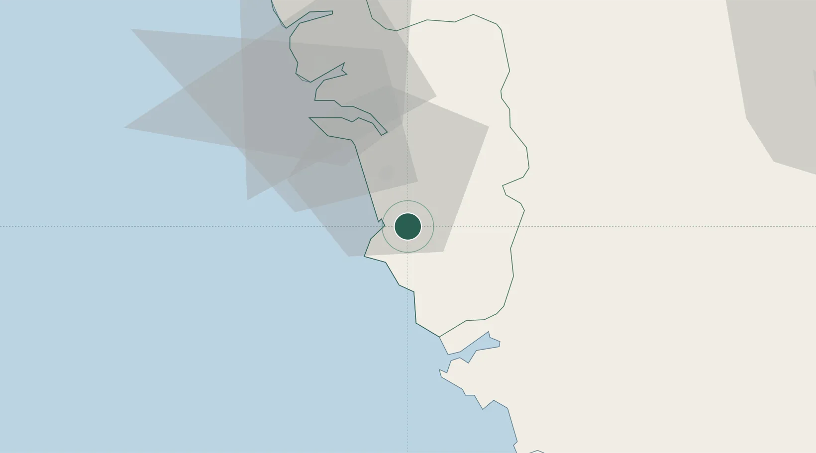
Location
Nearby Logistics Neighbours
Cities
- 1Madgaon1 km
- 2Verna25 km
- 3Marmagao (Marmugao)25 km
- 4Tadri79 km
- 5New Mangalore85 km
Airports
- 1Goa Dabolim International Airport32 km
- 2Manohar International Airport68 km
- 3Belagavi Airport102 km
- 4Sindhudurg Airport108 km
- 5Hubballi Airport117 km
Trade Zones
DatabookThe Record of Consolidated Knowledge
India beyond logistics?