UN/LOCODE hub · India
INPBH

Piyala Block Hut

28.4500°, 77.5167°
2
Transport functions

Transport Functions

Rail
Road
UN/LOCODE

Hub Profile

Region
HR
GeoNames

Location

Location of INPBH
Natural Earth 10m (public domain) · HR · INPBH · 28.45, 77.52GoogleOSMYandex

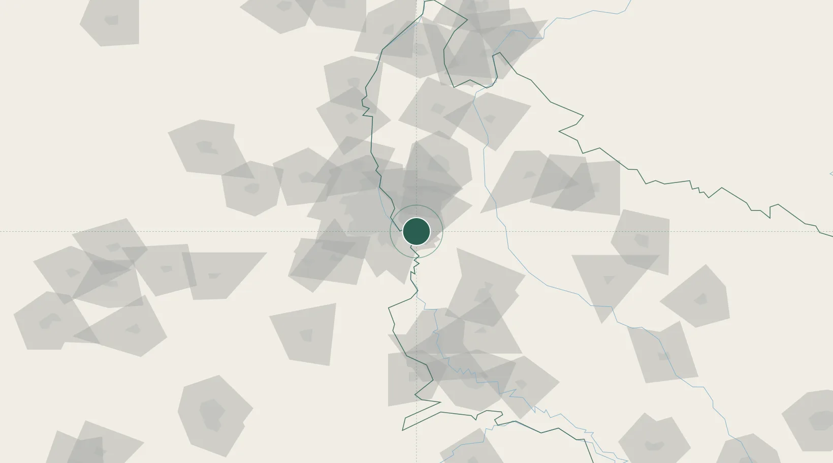
Nearby Logistics Neighbours

Cities
  1. 1Surajpur8 km
  2. 2Dadri8 km
  3. 3Dadri ICD/Noida9 km
  4. 4Infosys Sez/Dadri12 km
  5. 5Dadri Container Terminal13 km
Nearest neighbours — logibook spatial index (haversine) over the source coordinates
Ports
  1. 1Dahej903 km
  2. 2Bhavnagar914 km
  3. 3Navlakhi935 km
  4. 4Magdalla943 km
  5. 5Kandla947 km
Nearest neighbours — logibook spatial index (haversine) over the source coordinates
Airports
  1. 1Noida International Airport31 km
  2. 2Hindon Airport / Hindon Air Force Station33 km
  3. 3Safdarjung Airport34 km
  4. 4Indira Gandhi International Airport43 km
  5. 5Aligarh Airport90 km
Nearest neighbours — logibook spatial index (haversine) over the source coordinates
Trade Zones
  1. 1Moser Baer SEZ, Greater Noida7 km
  2. 2Vedanta Aluminium Limited7 km
  3. 3TCS Noida12 km
  4. 4Noida Special Economic Zone15 km
  5. 5Unitech Realty Projects Ltd.19 km
Nearest neighbours — logibook spatial index (haversine) over the source coordinates
DatabookThe Record of Consolidated Knowledge
India beyond logistics?
Browse databook

All Sources

LocationsUN/LOCODE
UN/LOCODE — free
Portsthe NGA World Port Index
Public domain (US gov)
AirportsOurAirports
Public domain
Trade Zonesthe World Bank SEZ database
CC BY 4.0
Trade ZonesOpen Zone Map
CC BY
← India locations