UN/LOCODE hub · India
INDER

Dadri ICD/Noida

28.5307°, 77.5289°
1
Transport functions

Transport Functions

Multimodal
UN/LOCODE

Hub Profile

Region
UP
GeoNames
Logistics facilities
1
UN/LOCODE

Location

Location of INDER
Natural Earth 10m (public domain) · UP · INDER · 28.53, 77.53GoogleOSMYandex

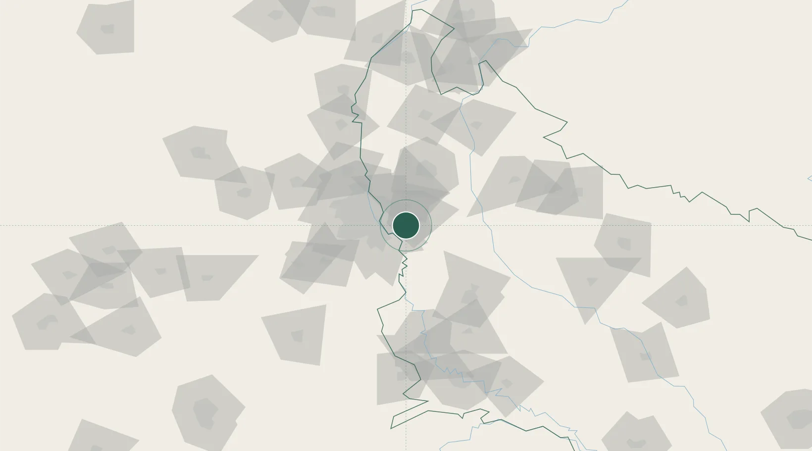
Nearby Logistics Neighbours

Cities
  1. 1Dadri4 km
  2. 2Dadri Container Terminal4 km
  3. 3Infosys Sez/Dadri4 km
  4. 4Alpl Cfs/Dadri5 km
  5. 5Acpl Cfs/Dadri5 km
Nearest neighbours — logibook spatial index (haversine) over the source coordinates
Ports
  1. 1Dahej911 km
  2. 2Bhavnagar922 km
  3. 3Navlakhi942 km
  4. 4Magdalla952 km
  5. 5Kandla953 km
Nearest neighbours — logibook spatial index (haversine) over the source coordinates
Airports
  1. 1Hindon Airport / Hindon Air Force Station26 km
  2. 2Safdarjung Airport32 km
  3. 3Noida International Airport40 km
  4. 4Indira Gandhi International Airport43 km
  5. 5Aligarh Airport96 km
Nearest neighbours — logibook spatial index (haversine) over the source coordinates
Trade Zones
  1. 1Moser Baer SEZ, Greater Noida6 km
  2. 2Vedanta Aluminium Limited6 km
  3. 3TCS Noida13 km
  4. 4Noida Special Economic Zone13 km
  5. 5Anant Raj Industries, IT Park Rai17 km
Nearest neighbours — logibook spatial index (haversine) over the source coordinates
DatabookThe Record of Consolidated Knowledge
India beyond logistics?
Browse databook

All Sources

LocationsUN/LOCODE
UN/LOCODE — free
Portsthe NGA World Port Index
Public domain (US gov)
AirportsOurAirports
Public domain
Trade Zonesthe World Bank SEZ database
CC BY 4.0
Trade ZonesOpen Zone Map
CC BY
← India locations