Specialized Zone · India
Wipro Limited (Sarjapur) Active
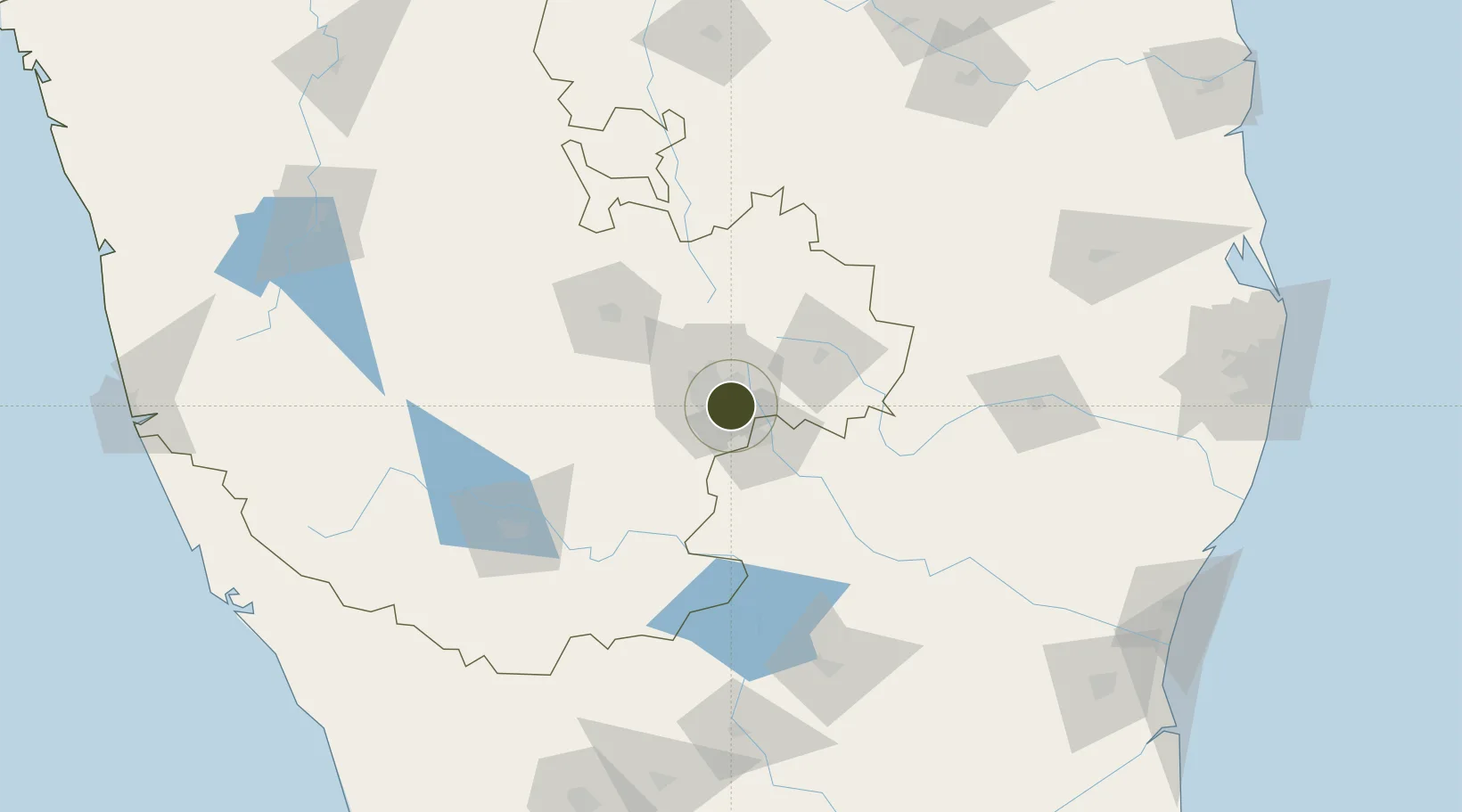
12.9143°, 77.6865°
6 ha
Zone area
257.4 km
Nearest port
4.4 km
Nearest airport
Gateway access
Zone profile
Zone type
Specialized Zone
Specialization
IT
Region
Karnataka
Status
Active
Management
Private
Operator
Wipro Limited
Legal framework
9/478/SEZ/HYD/2019 dated 31.12.2019
Location
Nearby Logistics Neighbours
Ports
- 1Pondicherry257 km
- 2Cuddalore262 km
- 3Calicut (Kozhikode)279 km
- 4Azhikal (Azhikkal)280 km
- 5Beypore283 km
Airports
- 1HAL Airport4 km
- 2Jakkur Aerodrome21 km
- 3Kempegowda International Airport Bengaluru32 km
- 4Salem Airport132 km
- 5Mysore Airport136 km
Cities
- 1Apllp Sez/Bangalore8 km
- 2Itpl Sezii/Whitefield9 km
- 3Bd Sez/Bangalore9 km
- 4Sdpl Sez/Bangalore13 km
- 5Bangalore13 km
DatabookThe Record of Consolidated Knowledge
India beyond logistics?