Specialized Zone · India

Pritech Park SEZ (Primal Projects Ltd) Active
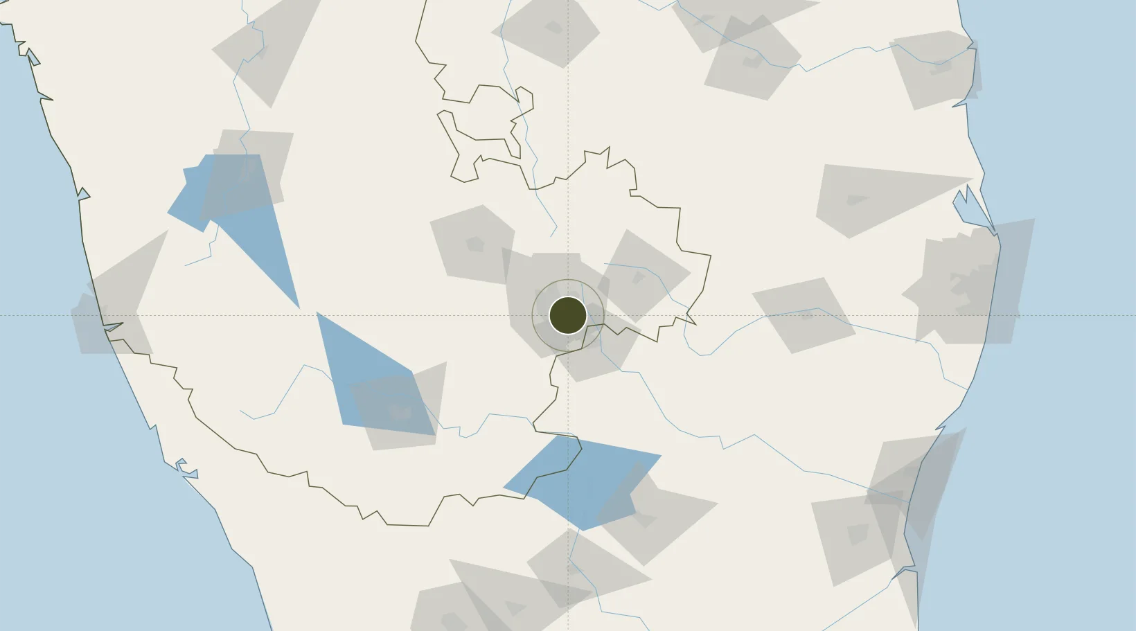
12.9238°, 77.6814°
14 ha
Zone area
258.3 km
Nearest port
3.2 km
Nearest airport

Gateway access

Nearest neighbours — logibook spatial index (haversine) over the source coordinates

Zone profile

Zone type
Specialized Zone
Open Zone Map
Specialization
IT
Open Zone Map
Region
Karnataka
Open Zone Map
Status
Active
Open Zone Map
Management
Public-Private Partnership
Open Zone Map
Operator
Primal Projects Pvt. Ltd
Open Zone Map
Legal framework
Ministry's Letter No. F.2/14/2006-EPZ
Open Zone Map

Location

Location of ozm-2228
Natural Earth 10m (public domain) · Karnataka · ozm-2228 · 12.92, 77.68GoogleOSMYandex

Nearby Logistics Neighbours

Ports
  1. 1Pondicherry258 km
  2. 2Cuddalore263 km
  3. 3Calicut (Kozhikode)279 km
  4. 4Azhikal (Azhikkal)280 km
  5. 5Beypore283 km
Nearest neighbours — logibook spatial index (haversine) over the source coordinates
Airports
  1. 1HAL Airport3 km
  2. 2Jakkur Aerodrome19 km
  3. 3Kempegowda International Airport Bengaluru31 km
  4. 4Salem Airport134 km
  5. 5Mysore Airport136 km
Nearest neighbours — logibook spatial index (haversine) over the source coordinates
Cities
  1. 1Apllp Sez/Bangalore8 km
  2. 2Itpl Sezii/Whitefield9 km
  3. 3Bd Sez/Bangalore10 km
  4. 4Kbits-SEZ/Bangalore13 km
  5. 5GOCL SEZ/Bangalore13 km
Nearest neighbours — logibook spatial index (haversine) over the source coordinates
Trade Zones
  1. 1Rmz Ecoworld Infrastructure Pvt. Ltd. [Formerly Adarsh Prime Projects Pvt. Ltd]1 km
  2. 2Wipro Ltd.1 km
  3. 3Wipro Limited (Sarjapur)1 km
  4. 4EMBASSY TECHVILLAGE (Formerly Vrindavan Techvillage)1 km
  5. 5Cessna SEZ2 km
Nearest neighbours — logibook spatial index (haversine) over the source coordinates
DatabookThe Record of Consolidated Knowledge
India beyond logistics?
Browse databook

All Sources

Trade ZonesOpen Zone Map
CC BY
Portsthe NGA World Port Index
Public domain (US gov)
AirportsOurAirports
Public domain
LocationsUN/LOCODE
UN/LOCODE — free
← India trade zones