Transport Functions
Port
Road
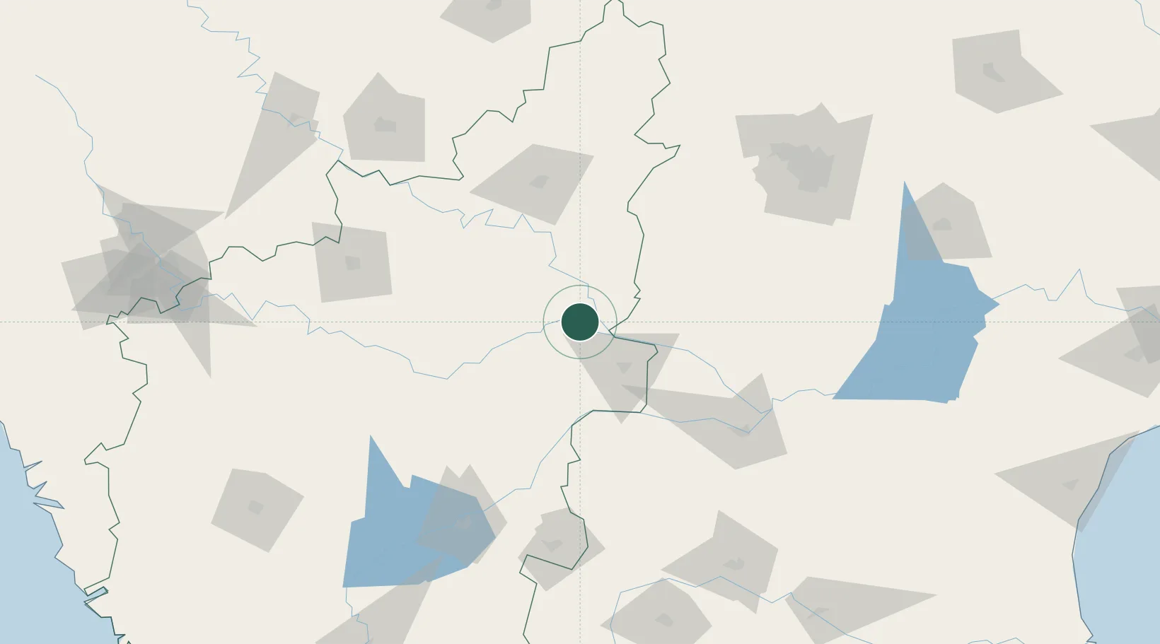
Hub Profile
Place type
Populated place
Region
Karnataka
Time zone
Asia/Kolkata
Elevation
363 m
Location
Nearby Logistics Neighbours
Cities
- 1APIICL-SEZ/Mahabaoobnagar99 km
- 2Balanagar127 km
- 3CMTL ICD/Thimmapur148 km
- 4Toranagallu151 km
- 5Bijapur152 km
Airports
- 1Kalaburagi Airport91 km
- 2Kurnool Airport145 km
- 3Bellary Airport150 km
- 4Bidar Airport / Bidar Air Force Station162 km
- 5Rajiv Gandhi International Airport165 km
Trade Zones
DatabookThe Record of Consolidated Knowledge
India beyond logistics?