UN/LOCODE hub · India
INRJN

LSPL SEZ/Rajnandgaon

21.1667°, 81.0000°
2
Transport functions

Transport Functions

Road
Multimodal
UN/LOCODE

Hub Profile

Region
CH
GeoNames

Location

Location of INRJN
Natural Earth 10m (public domain) · CH · INRJN · 21.17, 81.00GoogleOSMYandex

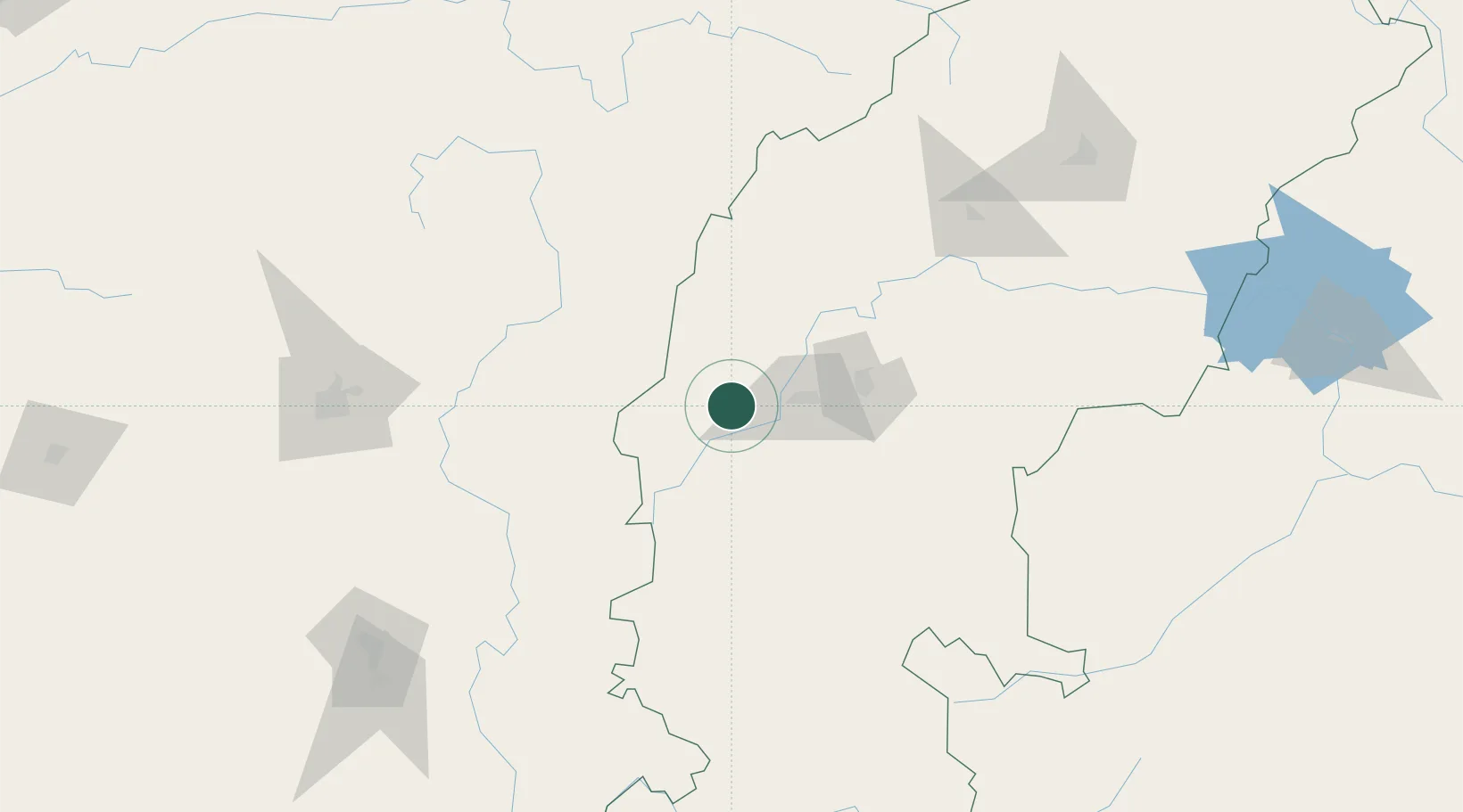
Nearby Logistics Neighbours

Cities
  1. 1Concor Icd/Nayaraipur16 km
  2. 2Bhilai45 km
  3. 3Raipur84 km
  4. 4Ramtek175 km
  5. 5MADCL SEZ/Nagpur197 km
Nearest neighbours — logibook spatial index (haversine) over the source coordinates
Ports
  1. 1Vishakhapatnam456 km
  2. 2Gangavaram458 km
  3. 3Gopalpur463 km
  4. 4Kakinada Bay484 km
  5. 5Paradip600 km
Nearest neighbours — logibook spatial index (haversine) over the source coordinates
Airports
  1. 1Swami Vivekananda Airport77 km
  2. 2Gondia Airport84 km
  3. 3Bilaspur Airport147 km
  4. 4Dr. Babasaheb Ambedkar International Airport203 km
  5. 5Jabalpur Airport244 km
Nearest neighbours — logibook spatial index (haversine) over the source coordinates
Trade Zones
  1. 1M s. Lanco Solar Private Limited9 km
  2. 2Mihan Special Economic Zone204 km
  3. 3Vedanta Aluminium Limited298 km
  4. 4Divi’s Laboratories Limited443 km
  5. 5Visakhapatnam Special Economic Zone446 km
Nearest neighbours — logibook spatial index (haversine) over the source coordinates
DatabookThe Record of Consolidated Knowledge
India beyond logistics?
Browse databook

All Sources

LocationsUN/LOCODE
UN/LOCODE — free
Portsthe NGA World Port Index
Public domain (US gov)
AirportsOurAirports
Public domain
Trade Zonesthe World Bank SEZ database
CC BY 4.0
Trade ZonesOpen Zone Map
CC BY
← India locations