Transport Functions
Rail
Road
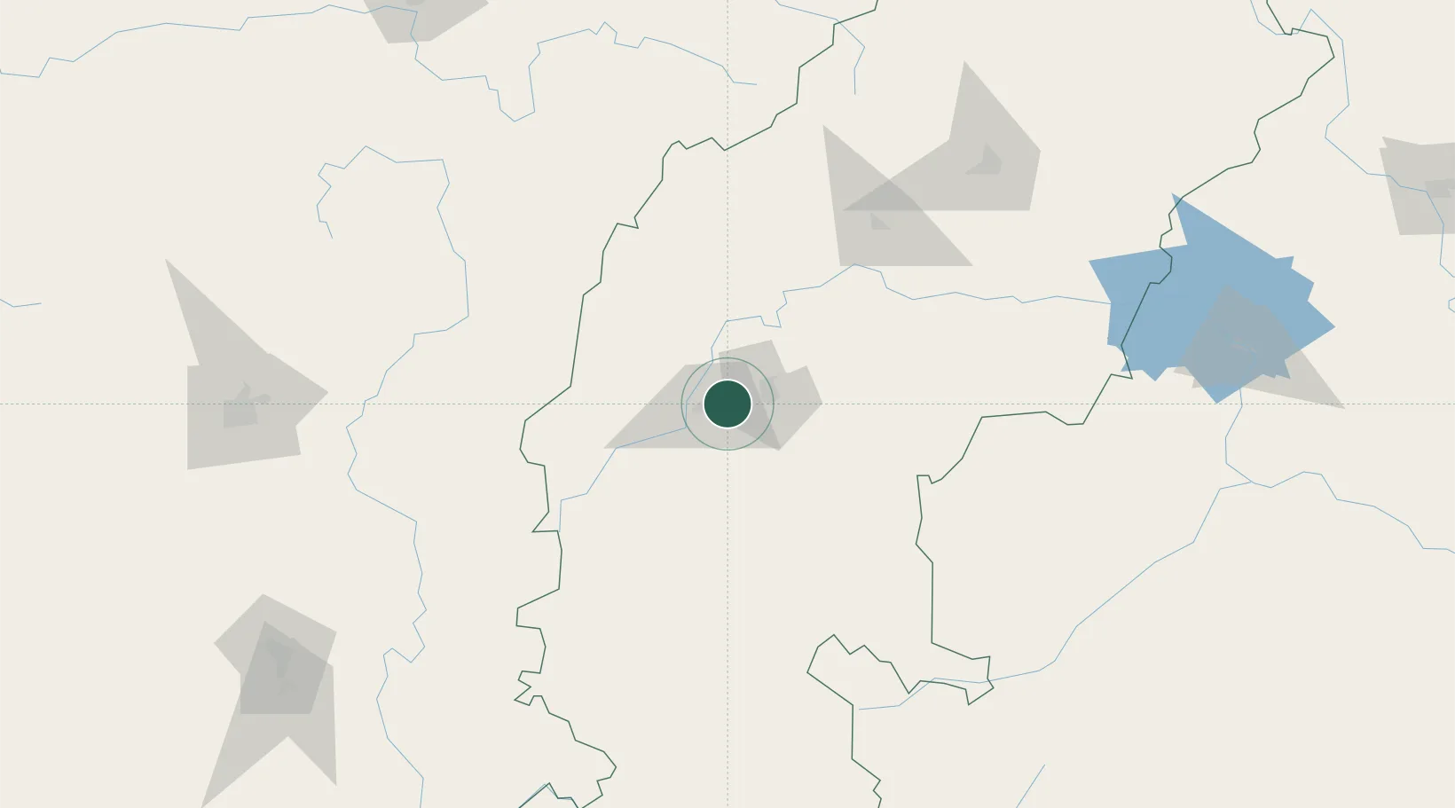
Hub Profile
Place type
Populated place
Region
Chhattisgarh
Population
627,734
Time zone
Asia/Kolkata
Elevation
307 m
Location
Nearby Logistics Neighbours
Cities
- 1Concor Icd/Nayaraipur33 km
- 2Raipur39 km
- 3LSPL SEZ/Rajnandgaon45 km
- 4Ramtek219 km
- 5MADCL SEZ/Nagpur242 km
Ports
- 1Gopalpur426 km
- 2Vishakhapatnam439 km
- 3Gangavaram442 km
- 4Kakinada Bay478 km
- 5Paradip556 km
Airports
- 1Swami Vivekananda Airport32 km
- 2Bilaspur Airport111 km
- 3Gondia Airport123 km
- 4Utkela Airport221 km
- 5Jagdalpur Airport246 km
Trade Zones
DatabookThe Record of Consolidated Knowledge
India beyond logistics?