Transport Functions
Rail
Road
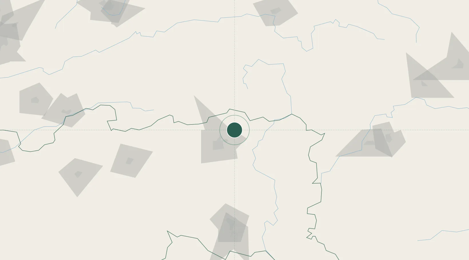
Hub Profile
Place type
Populated place
Region
Maharashtra
Population
23,404
Time zone
Asia/Kolkata
Elevation
336 m
Location
Nearby Logistics Neighbours
Cities
- 1MADCL SEZ/Nagpur37 km
- 2Butibori ICD/Nagpur37 km
- 3Concor Icd/Mihan48 km
- 4Nagpur51 km
- 5Borkhedi ICD/Nagpur70 km
Ports
- 1Kakinada Bay581 km
- 2Vishakhapatnam586 km
- 3Gangavaram586 km
- 4Gopalpur632 km
- 5Magdalla683 km
Airports
- 1Dr. Babasaheb Ambedkar International Airport45 km
- 2Gondia Airport100 km
- 3Sant Gadge Baba Yavatmal Airport161 km
- 4Jabalpur Airport211 km
- 5Akola Airport249 km
DatabookThe Record of Consolidated Knowledge
India beyond logistics?