Large airport · India

Dr. Babasaheb Ambedkar International AirportVANP
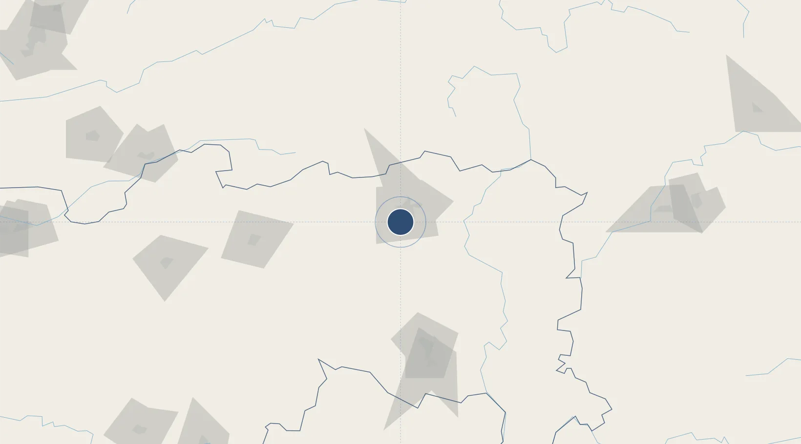
21.0922°, 79.0472°
10,500 ft
Longest runway
1
Runways
1,033 ft
Elevation

Runway & Layout

Dr. Babasaheb Ambedkar International Airport runway & taxiway layout
Runway & taxiway layout — OpenStreetMap (ODbL) / OurAirports

Radio Frequencies

TWR
118.1 MHz
GND
121.9 MHz
APP
122.7 MHz
A/G
287.2 MHz
RDO
ACC
123.9 MHz
CON
OurAirports

Navaids

NNP VOR-DME Nagpur 112.70 MHz
NP NDB Nagpur 372 kHz
OurAirports

Runways · 1

RunwayDimensions SurfaceTrue headingLit
14/32 10,500 × 150ft Asphalt 143°
OurAirports

Airport Specifications

IATA code
NAG
OurAirports
ICAO code
VANP
OurAirports
Airport class
Large airport
OurAirports
Scheduled service
Yes
OurAirports
Runway surface
Asphalt
OurAirports
Served city
Nagpur
OurAirports

Location

Location of VANP
Natural Earth 10m (public domain) · Maharashtra · VANP · 21.09, 79.05GoogleOSMYandex

Nearby Logistics Neighbours

Airports
  1. 1Sant Gadge Baba Yavatmal Airport116 km
  2. 2Gondia Airport138 km
  3. 3Akola Airport211 km
  4. 4Jabalpur Airport254 km
  5. 5Nanded Airport279 km
Nearest neighbours — logibook spatial index (haversine) over the source coordinates
Cities
  1. 1Concor Icd/Mihan3 km
  2. 2Nagpur7 km
  3. 3MADCL SEZ/Nagpur8 km
  4. 4Butibori ICD/Nagpur8 km
  5. 5Borkhedi ICD/Nagpur26 km
Nearest neighbours — logibook spatial index (haversine) over the source coordinates
Ports
  1. 1Kakinada Bay570 km
  2. 2Gangavaram585 km
  3. 3Vishakhapatnam585 km
  4. 4Gopalpur649 km
  5. 5Magdalla653 km
Nearest neighbours — logibook spatial index (haversine) over the source coordinates
Trade Zones
  1. 1Mihan Special Economic Zone5 km
  2. 2M s. Lanco Solar Private Limited210 km
  3. 3Crystal IT Park SEZ (M.P. Audoyogik Kendra Vikas Nigam(Indore) Ltd.)372 km
  4. 4Parsvnath City373 km
  5. 5Impetus Infotech (India) Private Limited373 km
Nearest neighbours — logibook spatial index (haversine) over the source coordinates
DatabookThe Record of Consolidated Knowledge
India beyond logistics?
Browse databook

All Sources

AirportsOurAirports
Public domain
Portsthe NGA World Port Index
Public domain (US gov)
LocationsUN/LOCODE
UN/LOCODE — free
Trade Zonesthe World Bank SEZ database
CC BY 4.0
Trade ZonesOpen Zone Map
CC BY
InfrastructureOpenStreetMap
ODbL 1.0
← India airports