UN/LOCODE hub · India
INRML

Concor Icd/Nayaraipur

21.2667°, 81.1167°
1
Transport functions

Transport Functions

Multimodal
UN/LOCODE

Hub Profile

Region
CT
GeoNames

Location

Location of INRML
Natural Earth 10m (public domain) · CT · INRML · 21.27, 81.12GoogleOSMYandex

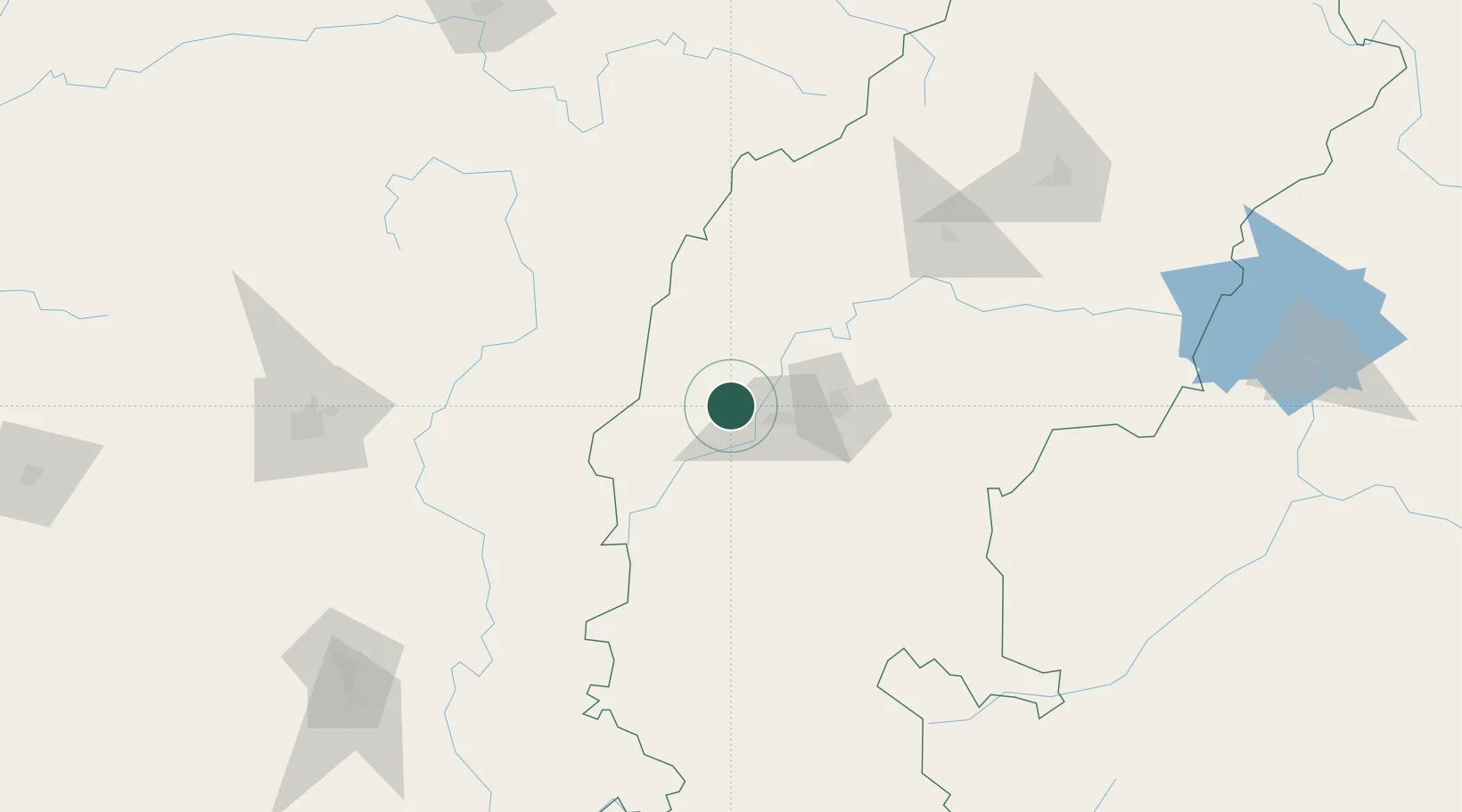
Nearby Logistics Neighbours

Cities
  1. 1LSPL SEZ/Rajnandgaon16 km
  2. 2Bhilai33 km
  3. 3Raipur72 km
  4. 4Ramtek185 km
  5. 5MADCL SEZ/Nagpur210 km
Nearest neighbours — logibook spatial index (haversine) over the source coordinates
Ports
  1. 1Gopalpur457 km
  2. 2Vishakhapatnam460 km
  3. 3Gangavaram462 km
  4. 4Kakinada Bay491 km
  5. 5Paradip589 km
Nearest neighbours — logibook spatial index (haversine) over the source coordinates
Airports
  1. 1Swami Vivekananda Airport65 km
  2. 2Gondia Airport90 km
  3. 3Bilaspur Airport130 km
  4. 4Dr. Babasaheb Ambedkar International Airport215 km
  5. 5Jabalpur Airport239 km
Nearest neighbours — logibook spatial index (haversine) over the source coordinates
Trade Zones
  1. 1M s. Lanco Solar Private Limited7 km
  2. 2Mihan Special Economic Zone217 km
  3. 3Vedanta Aluminium Limited294 km
  4. 4Divi’s Laboratories Limited445 km
  5. 5M S. Apiic Ltd., Naidupeta449 km
Nearest neighbours — logibook spatial index (haversine) over the source coordinates
DatabookThe Record of Consolidated Knowledge
India beyond logistics?
Browse databook

All Sources

LocationsUN/LOCODE
UN/LOCODE — free
Portsthe NGA World Port Index
Public domain (US gov)
AirportsOurAirports
Public domain
Trade Zonesthe World Bank SEZ database
CC BY 4.0
Trade ZonesOpen Zone Map
CC BY
← India locations