Transport Functions
Port
Rail
Road
Hub Profile
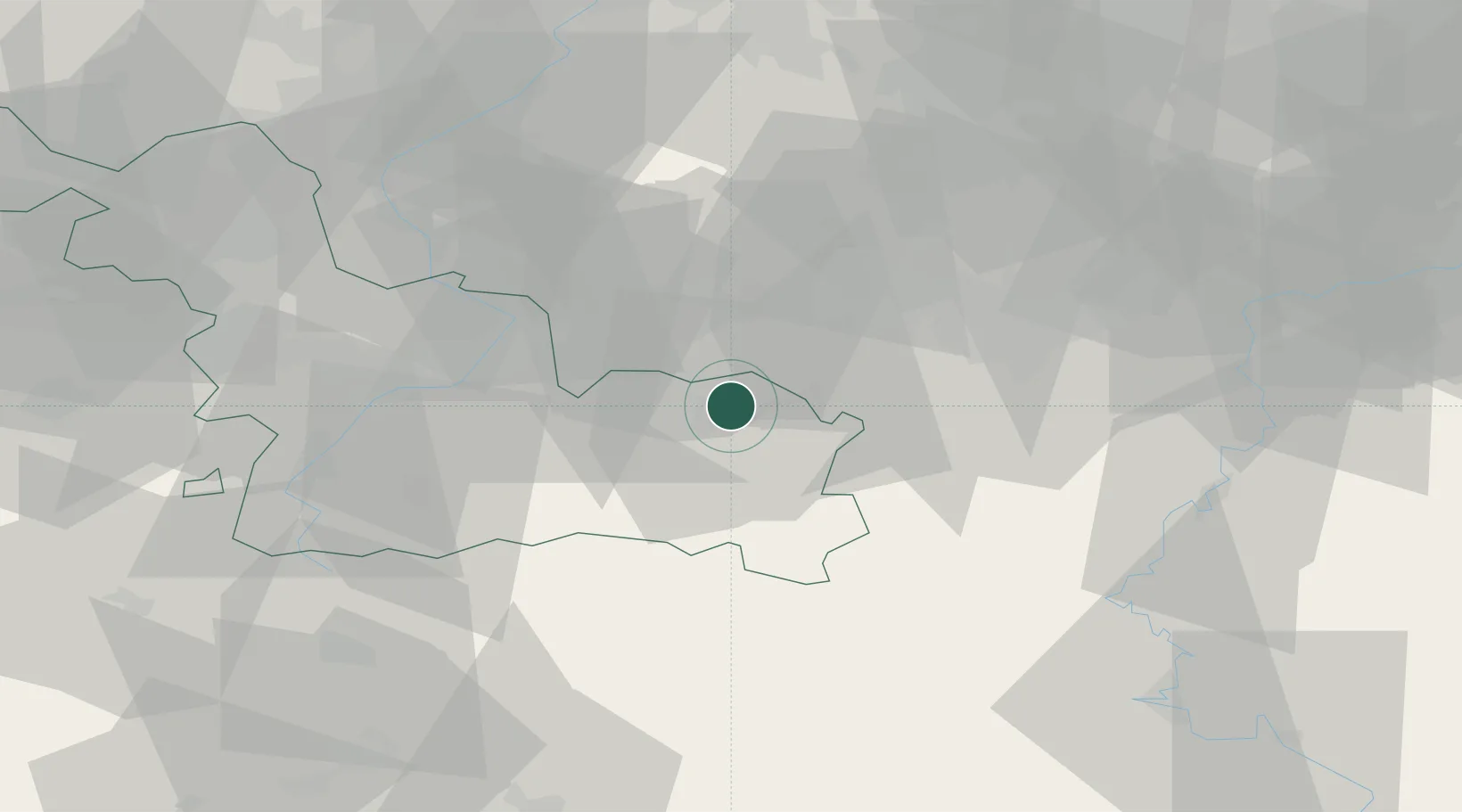
Place type
Populated place
Region
Hauts-de-France
Population
33,684
Time zone
Europe/Paris
Elevation
143 m
Location
Nearby Logistics Neighbours
Cities
- 1Rousies3 km
- 2Hautmont4 km
- 3Bettignies6 km
- 4Boussois6 km
- 5Jeumont8 km
Airports
- 1Chièvres Air Base34 km
- 2Valenciennes-Denain Airfield36 km
- 3Brussels South Charleroi Airport40 km
- 4Florennes Air Base49 km
- 5Lille Airport69 km
DatabookThe Record of Consolidated Knowledge
France beyond logistics?