Transport Functions
Multimodal
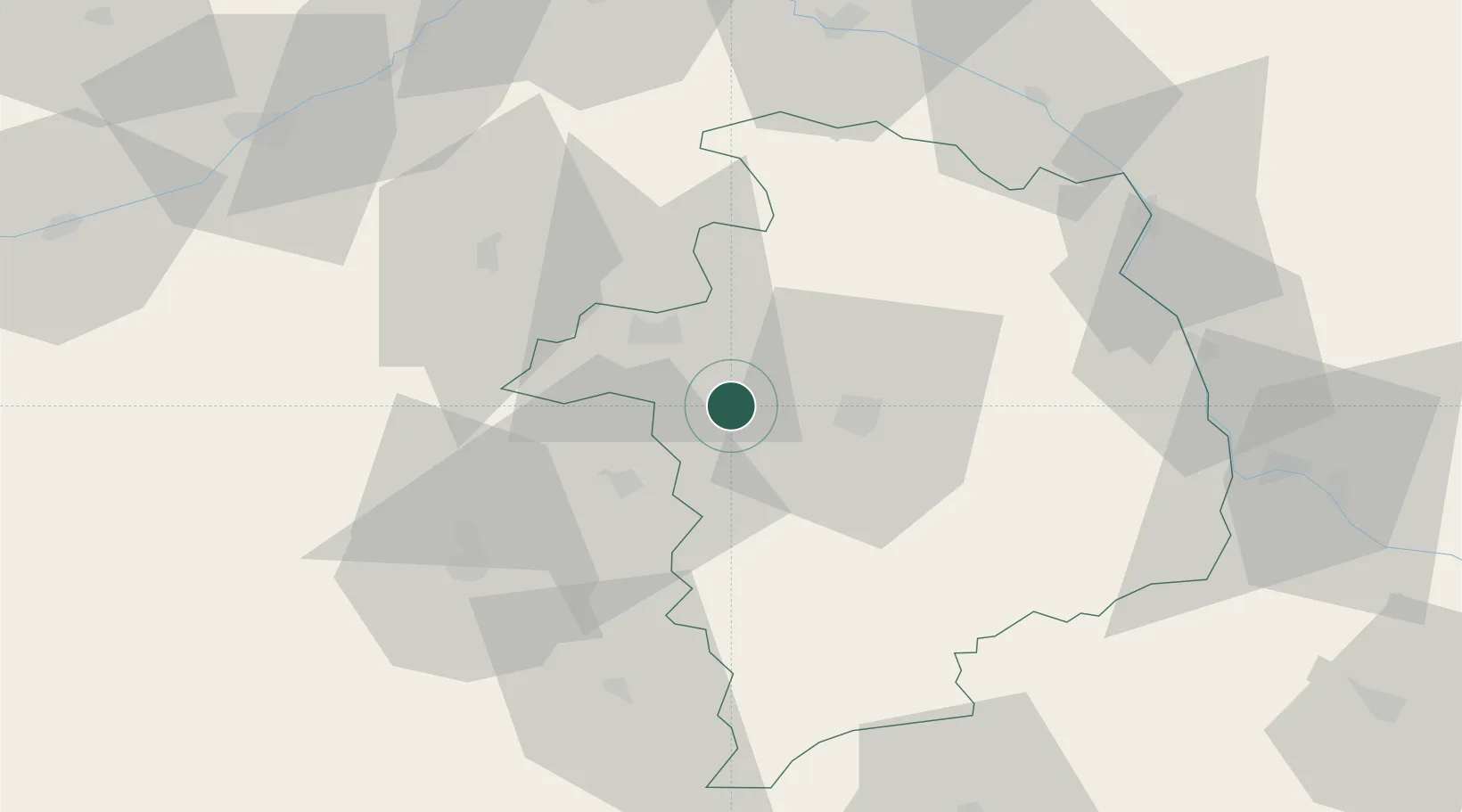
Hub Profile
Place type
Populated place
Region
Centre-Val de Loire
Population
432
Time zone
Europe/Paris
Elevation
123 m
Location
Nearby Logistics Neighbours
Cities
- 1Cerbois7 km
- 2Brinay7 km
- 3Berry-Bouy9 km
- 4Lazenay10 km
- 5Bourges17 km
Ports
- 1Tonnay Charente269 km
- 2Rochefort273 km
- 3Port Of Rouen274 km
- 4La Rochelle276 km
- 5La Pallice280 km
Airports
- 1Bourges airport15 km
- 2Avord (BA 702) Air Base34 km
- 3Châteauroux Déols airport44 km
- 4Nevers-Fourchambault Airport71 km
- 5Montluçon-Guéret Airport99 km
Trade Zones
- 1ZFU Bourges11 km
- 2ZFU Blois87 km
- 3ZFU Orléans90 km
- 4ZFU Sens146 km
- 5ZFU Montereau-Fault-Yonne154 km
DatabookThe Record of Consolidated Knowledge
France beyond logistics?