Transport Functions
Rail
Airport
Hub Profile
Place type
Provincial seat
Region
Centre-Val de Loire
Population
67,987
Time zone
Europe/Paris
Elevation
144 m
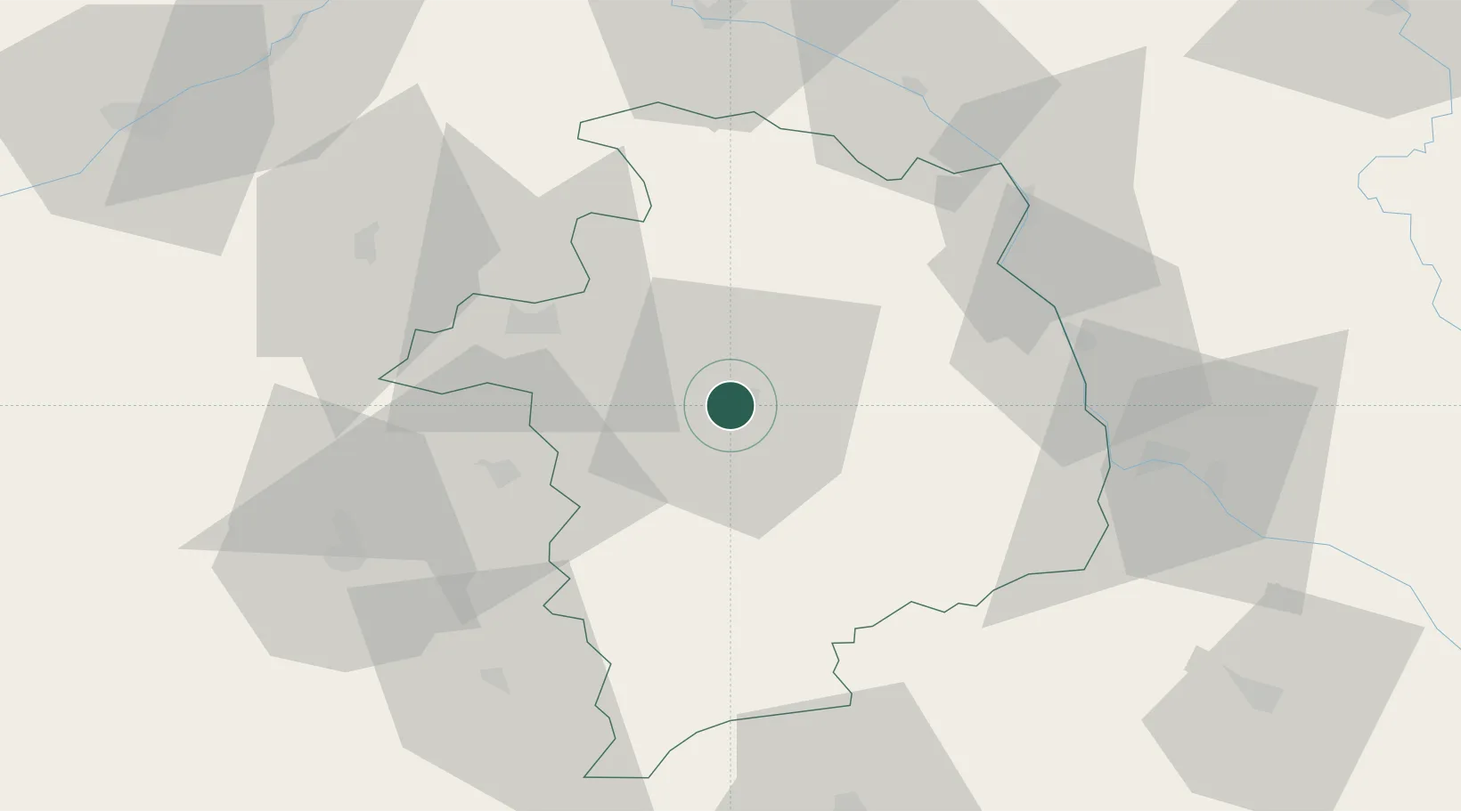
Location
Nearby Logistics Neighbours
Cities
- 1Berry-Bouy8 km
- 2Vignoux-sous-les-Aix12 km
- 3Arçay15 km
- 4Crosses16 km
- 5Preuilly17 km
Ports
- 1Port Of Rouen281 km
- 2Tonnay Charente283 km
- 3Rochefort287 km
- 4La Rochelle290 km
- 5La Pallice294 km
Airports
- 1Bourges airport4 km
- 2Avord (BA 702) Air Base18 km
- 3Nevers-Fourchambault Airport55 km
- 4Châteauroux Déols airport57 km
- 5Montluçon-Guéret Airport96 km
Trade Zones
- 1ZFU Bourges6 km
- 2ZFU Orléans97 km
- 3ZFU Blois102 km
- 4ZFU Sens140 km
- 5ZFU Montereau-Fault-Yonne151 km
DatabookThe Record of Consolidated Knowledge
France beyond logistics?