UN/LOCODE hub · France
FR3XV
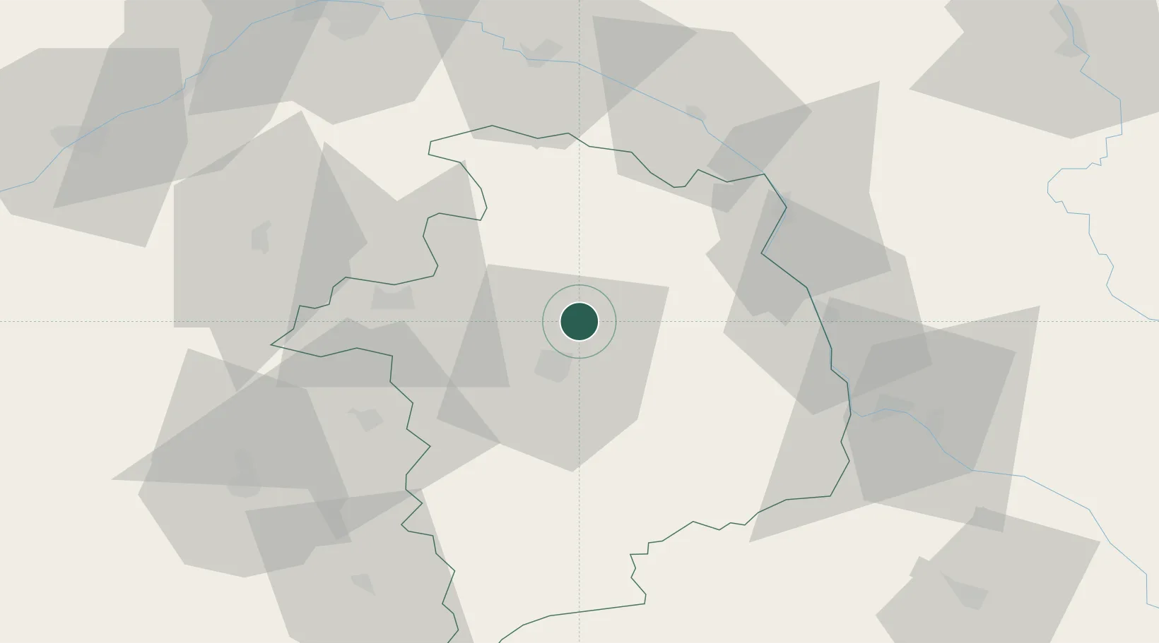
Vignoux-sous-les-Aix
47.1833°, 2.4667°
666
Population
1
Transport functions
Transport Functions
Multimodal
Hub Profile
Place type
Populated place
Region
Centre-Val de Loire
Population
666
Time zone
Europe/Paris
Elevation
198 m
Location
Nearby Logistics Neighbours
Cities
- 1Aubinges10 km
- 2Morogues12 km
- 3Bourges12 km
- 4Berry-Bouy15 km
- 5Montigny17 km
Ports
- 1Port Of Rouen273 km
- 2Tonnay Charente293 km
- 3Rochefort296 km
- 4La Rochelle299 km
- 5Honfleur299 km
Airports
- 1Bourges airport16 km
- 2Avord (BA 702) Air Base19 km
- 3Nevers-Fourchambault Airport53 km
- 4Châteauroux Déols airport67 km
- 5Orléans-Bricy (BA 123) Air Base104 km
Trade Zones
- 1ZFU Bourges16 km
- 2ZFU Orléans90 km
- 3ZFU Blois100 km
- 4ZFU Sens128 km
- 5ZFU Montereau-Fault-Yonne139 km
DatabookThe Record of Consolidated Knowledge
France beyond logistics?