Transport Functions
Multimodal
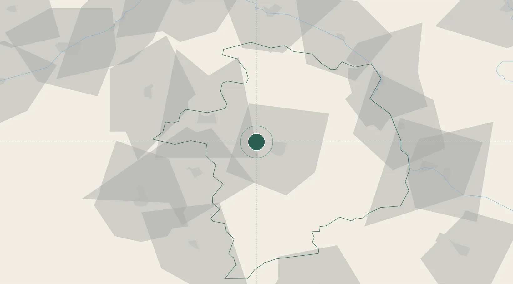
Hub Profile
Place type
Populated place
Region
Centre-Val de Loire
Population
950
Time zone
Europe/Paris
Elevation
131 m
Location
Nearby Logistics Neighbours
Cities
- 1Bourges8 km
- 2Preuilly9 km
- 3Brinay13 km
- 4Vignoux-sous-les-Aix15 km
- 5Cerbois15 km
Ports
- 1Port Of Rouen275 km
- 2Tonnay Charente278 km
- 3Rochefort281 km
- 4La Rochelle285 km
- 5La Pallice289 km
Airports
- 1Bourges airport8 km
- 2Avord (BA 702) Air Base26 km
- 3Châteauroux Déols airport52 km
- 4Nevers-Fourchambault Airport63 km
- 5Montluçon-Guéret Airport100 km
Trade Zones
- 1ZFU Bourges5 km
- 2ZFU Orléans91 km
- 3ZFU Blois93 km
- 4ZFU Sens140 km
- 5ZFU Montereau-Fault-Yonne149 km
DatabookThe Record of Consolidated Knowledge
France beyond logistics?