Transport Functions
Multimodal
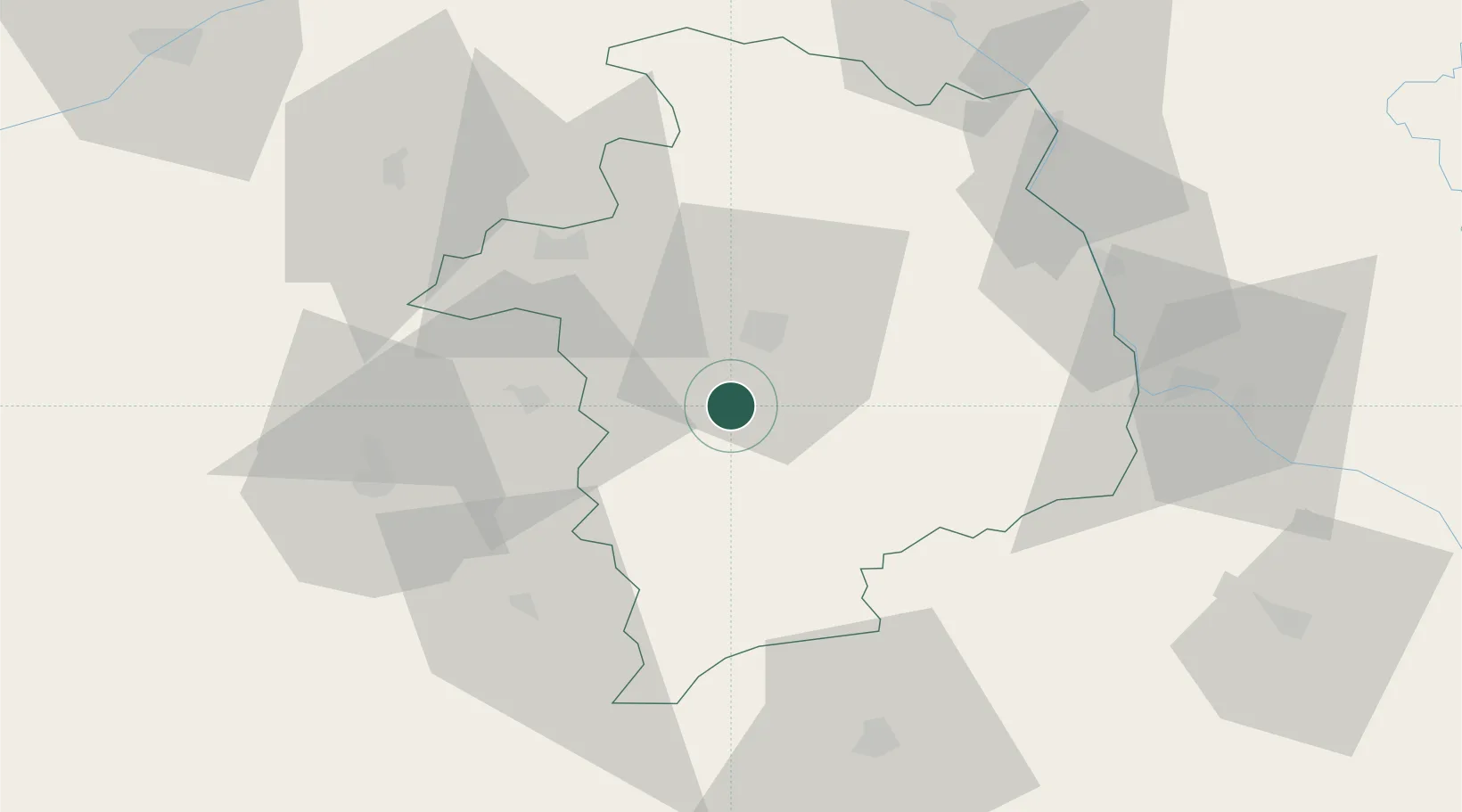
Hub Profile
Place type
Populated place
Region
Centre-Val de Loire
Population
429
Time zone
Europe/Paris
Elevation
167 m
Location
Nearby Logistics Neighbours
Cities
- 1Lunery7 km
- 2Châteauneuf-sur-Cher10 km
- 3Venesmes13 km
- 4Bourges15 km
- 5Berry-Bouy19 km
Ports
- 1Tonnay Charente274 km
- 2Rochefort277 km
- 3La Rochelle282 km
- 4La Pallice286 km
- 5Port Of Rouen294 km
Airports
- 1Bourges airport12 km
- 2Avord (BA 702) Air Base24 km
- 3Châteauroux Déols airport48 km
- 4Nevers-Fourchambault Airport58 km
- 5Montluçon-Guéret Airport81 km
Trade Zones
- 1ZFU Bourges14 km
- 2ZFU Blois108 km
- 3ZFU Orléans110 km
- 4ZFU Clermont-Ferrand141 km
- 5ZFU Sens155 km
DatabookThe Record of Consolidated Knowledge
France beyond logistics?