Medium airport · France
Montluçon-Guéret AirportLFBK
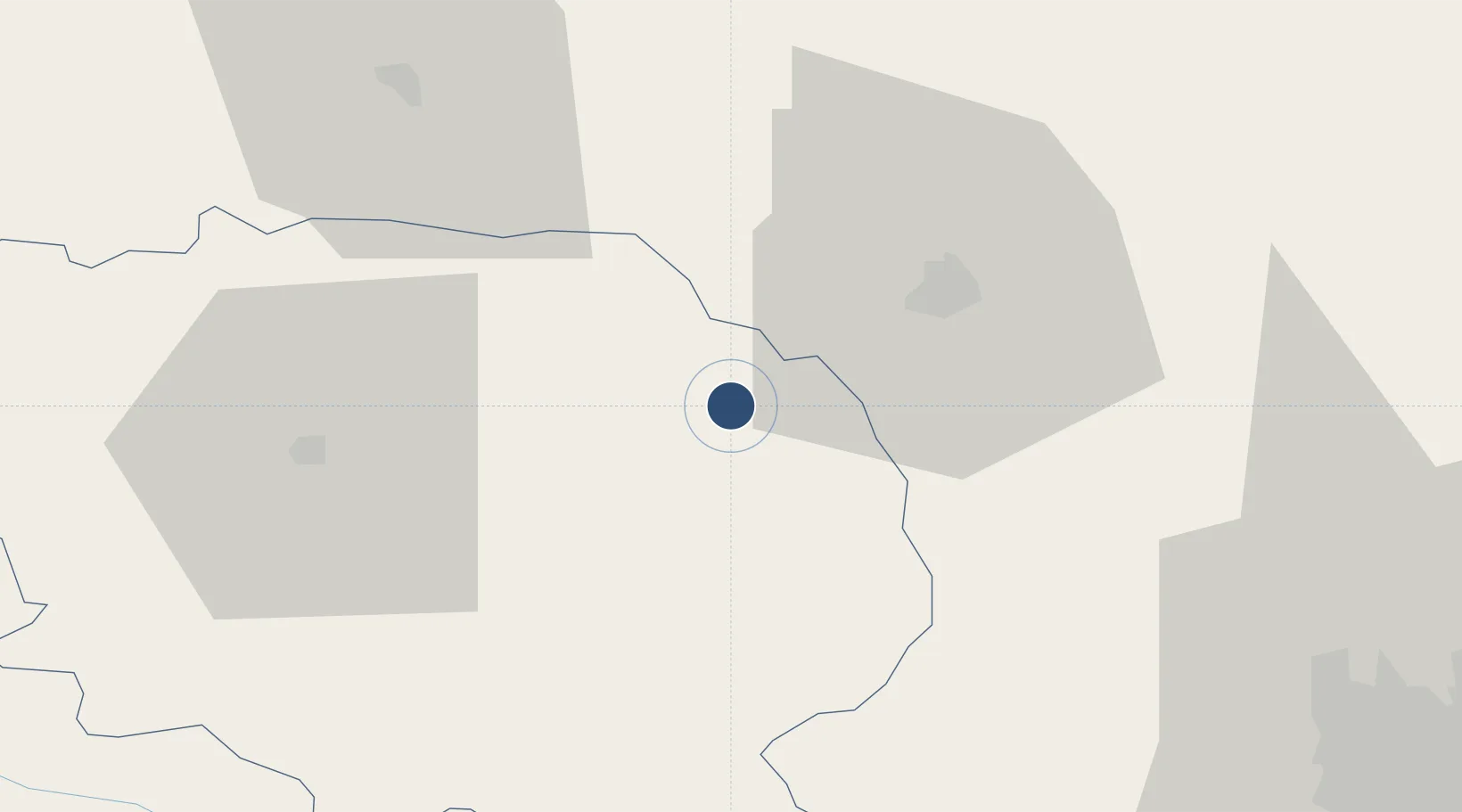
46.2226°, 2.3640°
6,234 ft
Longest runway
1
Runways
1,497 ft
Elevation
Runway & Layout

Radio Frequencies
AFIS
118.4 MHz
INFO
Runways · 1
| Runway | Dimensions | Surface | True heading | Lit |
|---|---|---|---|---|
| 17/35 | 6,234 × 148ft | Asphalt | 167° | ✓ |
Airport Specifications
IATA code
MCU
ICAO code
LFBK
Airport class
Medium airport
Scheduled service
No
Runway surface
Asphalt
Served city
Lépaud, Creuse
Location
Nearby Logistics Neighbours
Airports
- 1Clermont-Ferrand Auvergne airport79 km
- 2Vichy-Charmeil Airport80 km
- 3Châteauroux Déols airport86 km
- 4Bourges airport93 km
- 5Avord (BA 702) Air Base95 km
Cities
- 1Domérat19 km
- 2Montluçon22 km
- 3Les Forgettes26 km
- 4Ahun29 km
- 5Commentry29 km
Ports
- 1Tonnay Charente254 km
- 2Rochefort258 km
- 3Ambes262 km
- 4Blaye265 km
- 5Pauillac267 km
Trade Zones
- 1ZFU Clermont-Ferrand73 km
- 2ZFU Bourges95 km
- 3ZFU Blois172 km
- 4ZFU Saint-Etienne174 km
- 5ZFU Orléans188 km
DatabookThe Record of Consolidated Knowledge
France beyond logistics?