UN/LOCODE hub · France
FRBSC

Bonsecours

49.4333°, 1.1333°
285
Population
1
Transport functions

Transport Functions

Port
UN/LOCODE

Hub Profile

Place type
Populated place
GeoNames
Region
Normandy
GeoNames
Population
285
GeoNames
Time zone
Europe/Paris
GeoNames
Elevation
144 m
GeoNames

Location

Location of FRBSC
Natural Earth 10m (public domain) · Normandy · FRBSC · 49.43, 1.13GoogleOSMYandex

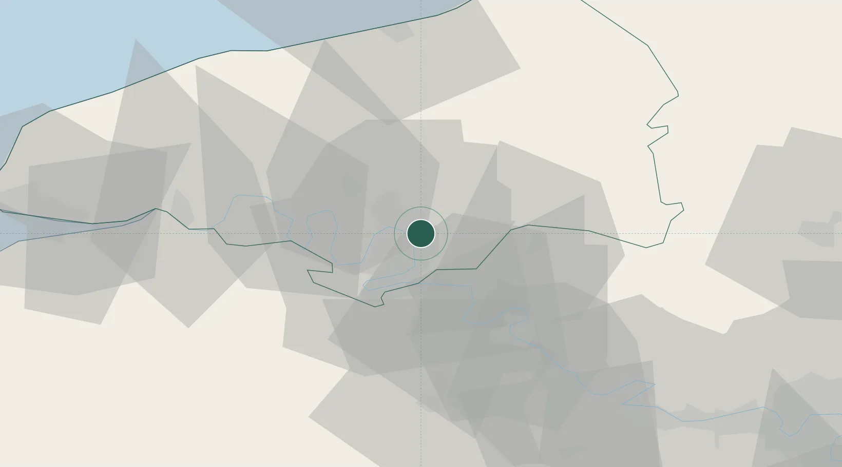
Nearby Logistics Neighbours

Cities
  1. 1Orléans Sta/Rouen2 km
  2. 2Sotteville-lès-Rouen3 km
  3. 3Le Petit-Quevilly6 km
  4. 4Le Grand-Quevilly8 km
  5. 5Dieppedalle8 km
Nearest neighbours — logibook spatial index (haversine) over the source coordinates
Ports
  1. 1Port Of Rouen5 km
  2. 2Dieppe56 km
  3. 3Honfleur66 km
  4. 4Fecamp67 km
  5. 5Le Treport72 km
Nearest neighbours — logibook spatial index (haversine) over the source coordinates
Airports
  1. 1Rouen Vallée de Seine Airport6 km
  2. 2Évreux-Fauville (BA 105) Air Base45 km
  3. 3Beauvais-Tillé airport71 km
  4. 4Deauville Normandie airport71 km
  5. 5Pontoise-Cormeilles Aerodrome75 km
Nearest neighbours — logibook spatial index (haversine) over the source coordinates
Trade Zones
  1. 1ZFU Rouen Bihorel4 km
  2. 2ZFU Évreux45 km
  3. 3ZFU Mantes-la-Jolie65 km
  4. 4ZFU Beauvais67 km
  5. 5ZFU Le Havre74 km
Nearest neighbours — logibook spatial index (haversine) over the source coordinates
DatabookThe Record of Consolidated Knowledge
France beyond logistics?
Browse databook

All Sources

LocationsUN/LOCODE
UN/LOCODE — free
LocationsGeoNames
CC BY 4.0
Portsthe NGA World Port Index
Public domain (US gov)
AirportsOurAirports
Public domain
Trade Zonesthe World Bank SEZ database
CC BY 4.0
Trade ZonesOpen Zone Map
CC BY
← France locations