Economic Revitalization Project · France

ZFU Les Mureaux Active
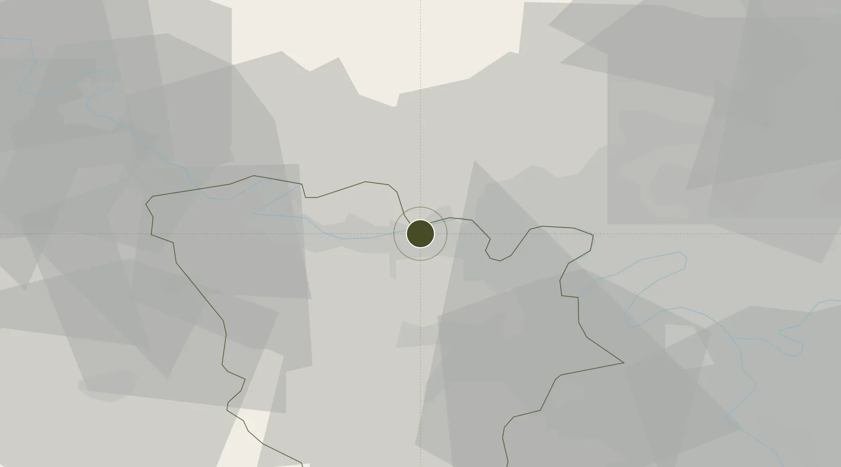
48.9877°, 1.8934°
163 ha
Zone area
79.0 km
Nearest port
15.9 km
Nearest airport

Gateway access

Nearest neighbours — logibook spatial index (haversine) over the source coordinates

Zone profile

Zone type
Economic Revitalization Project
Open Zone Map
Region
Yvelines
Open Zone Map
Status
Active
Open Zone Map
Management
Public
Open Zone Map
Operator
Les Mureaux
Open Zone Map
Legal framework
Décret no 65-939 du 8 novembre 1965, Décret du 9 Octobre 2008
Open Zone Map

Location

Location of ozm-1979
Natural Earth 10m (public domain) · Yvelines · ozm-1979 · 48.99, 1.89GoogleOSMYandex

Nearby Logistics Neighbours

Ports
  1. 1Port Of Rouen79 km
  2. 2Dieppe120 km
  3. 3Le Treport126 km
  4. 4Honfleur131 km
  5. 5Saint-Valery-Sur-Somme134 km
Nearest neighbours — logibook spatial index (haversine) over the source coordinates
Airports
  1. 1Pontoise-Cormeilles Aerodrome16 km
  2. 2Toussus-le-Noble Airport31 km
  3. 3Vélizy-Villacoublay Air Base33 km
  4. 4Paris-Le Bourget International Airport40 km
  5. 5Paris-Orly Airport46 km
Nearest neighbours — logibook spatial index (haversine) over the source coordinates
Cities
  1. 1Hardricourt2 km
  2. 2Flins3 km
  3. 3Chapet4 km
  4. 4Bazemont6 km
  5. 5Verneuil-sur-Seine7 km
Nearest neighbours — logibook spatial index (haversine) over the source coordinates
Trade Zones
  1. 1ZFU Mantes-la-Jolie13 km
  2. 2ZFU Sartrouville20 km
  3. 3ZFU Trappes25 km
  4. 4ZFU Argenteuil25 km
  5. 5ZFU Epinay-sur-Seine30 km
Nearest neighbours — logibook spatial index (haversine) over the source coordinates
DatabookThe Record of Consolidated Knowledge
France beyond logistics?
Browse databook

All Sources

Trade ZonesOpen Zone Map
CC BY
Portsthe NGA World Port Index
Public domain (US gov)
AirportsOurAirports
Public domain
LocationsUN/LOCODE
UN/LOCODE — free
← France trade zones