UN/LOCODE hub · France
FRROO

Orléans Sta/Rouen

49.4333°, 1.1000°
1
Transport functions

Transport Functions

Rail
UN/LOCODE

Hub Profile

Region
76
GeoNames

Location

Location of FRROO
Natural Earth 10m (public domain) · 76 · FRROO · 49.43, 1.10GoogleOSMYandex

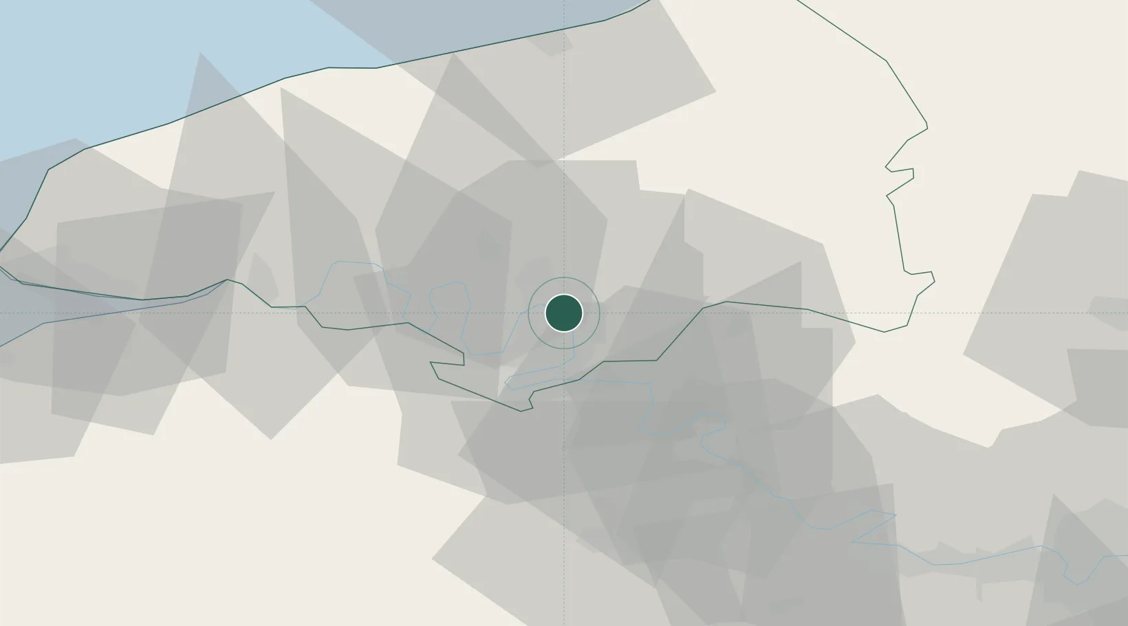
Nearby Logistics Neighbours

Cities
  1. 1Sotteville-lès-Rouen2 km
  2. 2Bonsecours2 km
  3. 3Le Petit-Quevilly4 km
  4. 4Le Grand-Quevilly5 km
  5. 5Dieppedalle6 km
Nearest neighbours — logibook spatial index (haversine) over the source coordinates
Ports
  1. 1Port Of Rouen3 km
  2. 2Dieppe56 km
  3. 3Honfleur64 km
  4. 4Fecamp65 km
  5. 5Port Of Le Havre71 km
Nearest neighbours — logibook spatial index (haversine) over the source coordinates
Airports
  1. 1Rouen Vallée de Seine Airport8 km
  2. 2Évreux-Fauville (BA 105) Air Base46 km
  3. 3Deauville Normandie airport69 km
  4. 4Beauvais-Tillé airport73 km
  5. 5Le Havre-Octeville Airport74 km
Nearest neighbours — logibook spatial index (haversine) over the source coordinates
Trade Zones
  1. 1ZFU Rouen Bihorel3 km
  2. 2ZFU Évreux46 km
  3. 3ZFU Mantes-la-Jolie67 km
  4. 4ZFU Beauvais69 km
  5. 5ZFU Le Havre71 km
Nearest neighbours — logibook spatial index (haversine) over the source coordinates
DatabookThe Record of Consolidated Knowledge
France beyond logistics?
Browse databook

All Sources

LocationsUN/LOCODE
UN/LOCODE — free
Portsthe NGA World Port Index
Public domain (US gov)
AirportsOurAirports
Public domain
Trade Zonesthe World Bank SEZ database
CC BY 4.0
Trade ZonesOpen Zone Map
CC BY
← France locations