UN/LOCODE hub · France
FRSOT

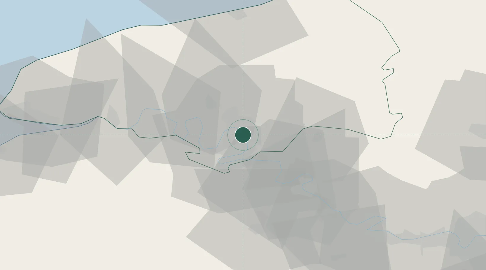
Sotteville-lès-Rouen

49.4167°, 1.1000°
30,619
Population
2
Transport functions

Transport Functions

Rail
Road
UN/LOCODE

Hub Profile

Place type
Populated place
GeoNames
Region
Normandy
GeoNames
Population
30,619
GeoNames
Time zone
Europe/Paris
GeoNames
Elevation
16 m
GeoNames

Location

Location of FRSOT
Natural Earth 10m (public domain) · Normandy · FRSOT · 49.42, 1.10GoogleOSMYandex

Nearby Logistics Neighbours

Cities
  1. 1Orléans Sta/Rouen2 km
  2. 2Bonsecours3 km
  3. 3Le Petit-Quevilly4 km
  4. 4Le Grand-Quevilly5 km
  5. 5Petit-Couronne6 km
Nearest neighbours — logibook spatial index (haversine) over the source coordinates
Ports
  1. 1Port Of Rouen4 km
  2. 2Dieppe58 km
  3. 3Honfleur64 km
  4. 4Fecamp66 km
  5. 5Port Of Le Havre72 km
Nearest neighbours — logibook spatial index (haversine) over the source coordinates
Airports
  1. 1Rouen Vallée de Seine Airport7 km
  2. 2Évreux-Fauville (BA 105) Air Base44 km
  3. 3Deauville Normandie airport69 km
  4. 4Beauvais-Tillé airport73 km
  5. 5Le Havre-Octeville Airport74 km
Nearest neighbours — logibook spatial index (haversine) over the source coordinates
Trade Zones
  1. 1ZFU Rouen Bihorel5 km
  2. 2ZFU Évreux44 km
  3. 3ZFU Mantes-la-Jolie65 km
  4. 4ZFU Beauvais69 km
  5. 5ZFU Le Havre72 km
Nearest neighbours — logibook spatial index (haversine) over the source coordinates
DatabookThe Record of Consolidated Knowledge
France beyond logistics?
Browse databook

All Sources

LocationsUN/LOCODE
UN/LOCODE — free
LocationsGeoNames
CC BY 4.0
Portsthe NGA World Port Index
Public domain (US gov)
AirportsOurAirports
Public domain
Trade Zonesthe World Bank SEZ database
CC BY 4.0
Trade ZonesOpen Zone Map
CC BY
← France locations