Transport Functions
Multimodal
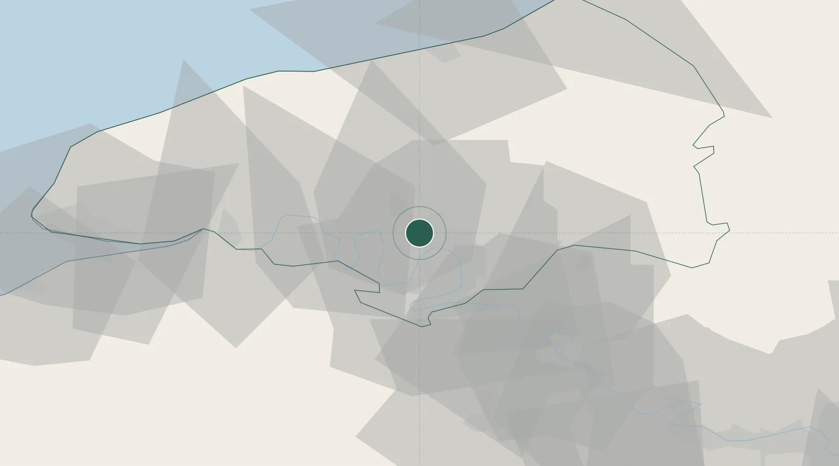
Hub Profile
Place type
Populated place
Region
Normandy
Population
1,045
Time zone
Europe/Paris
Elevation
131 m
Location
Nearby Logistics Neighbours
Cities
- 1Le Houlme4 km
- 2Dieppedalle6 km
- 3Malaunay6 km
- 4Le Grand-Quevilly8 km
- 5Le Petit-Quevilly8 km
Ports
- 1Port Of Rouen5 km
- 2Dieppe50 km
- 3Fecamp56 km
- 4Honfleur58 km
- 5Port Of Le Havre65 km
Airports
Trade Zones
- 1ZFU Rouen Bihorel6 km
- 2ZFU Évreux52 km
- 3ZFU Le Havre65 km
- 4ZFU Mantes-la-Jolie75 km
- 5ZFU Beauvais75 km
DatabookThe Record of Consolidated Knowledge
France beyond logistics?