Transport Functions
Multimodal
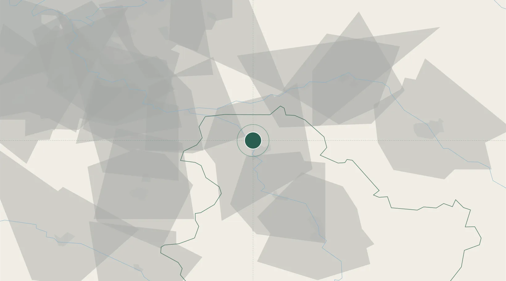
Hub Profile
Place type
Populated place
Region
Bourgogne
Population
663
Time zone
Europe/Paris
Elevation
65 m
Location
Nearby Logistics Neighbours
Cities
- 1Sens6 km
- 2Pont-sur-Yonne6 km
- 3Malay-le-Grand11 km
- 4Malay-le-Petit13 km
- 5Véron13 km
Ports
- 1Port Of Rouen209 km
- 2Le Treport245 km
- 3Dieppe246 km
- 4Saint-Valery-Sur-Somme246 km
- 5Honfleur258 km
Airports
- 1Auxerre Branches airport48 km
- 2Troyes-Barberey Airport56 km
- 3Melun-Villaroche Airfield59 km
- 4Paris-Orly Airport84 km
- 5Chalons Vatry airport90 km
Trade Zones
DatabookThe Record of Consolidated Knowledge
France beyond logistics?