Transport Functions
Port
Multimodal
Hub Profile
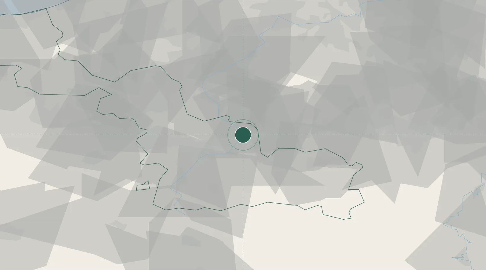
Place type
Populated place
Region
Hauts-de-France
Population
4,324
Time zone
Europe/Paris
Elevation
24 m
Location
Nearby Logistics Neighbours
Cities
- 1Fresnes-sur-Escaut2 km
- 2Condé-sur-l'Escaut4 km
- 3Valenciennes6 km
- 4Hensies7 km
- 5Quiévrechain7 km
Ports
- 1Ghent73 km
- 2Bruxelles75 km
- 3Bruges94 km
- 4Nieuwpoort98 km
- 5Oostende102 km
Airports
DatabookThe Record of Consolidated Knowledge
France beyond logistics?