Transport Functions
Port
Road
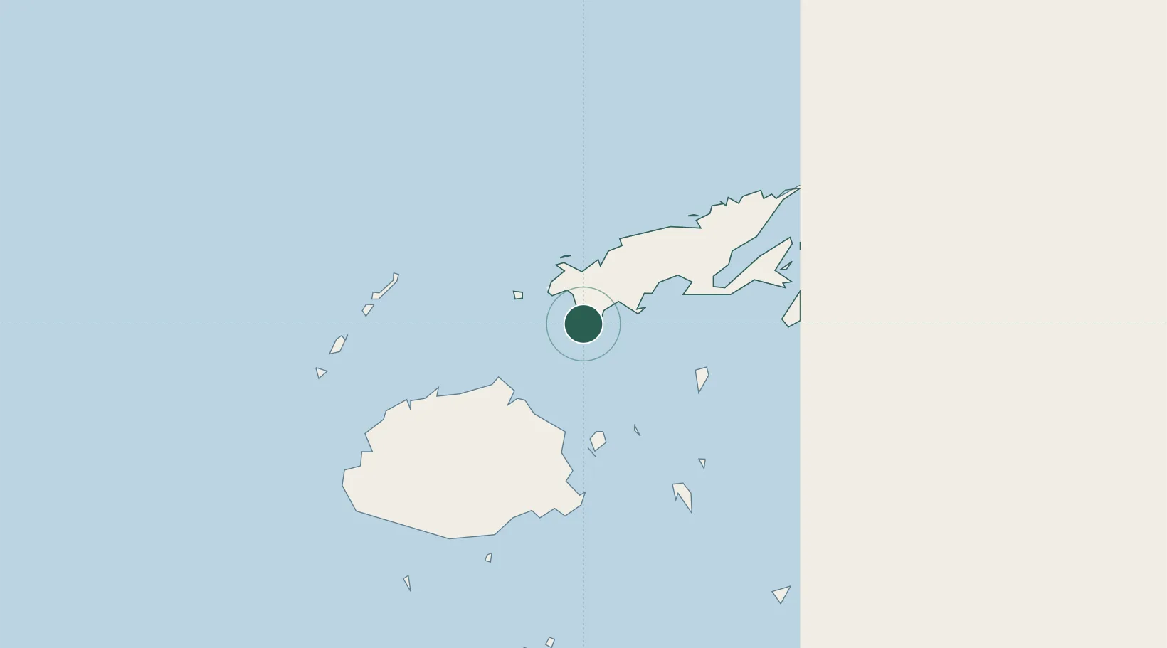
Location
Nearby Logistics Neighbours
Cities
- 1Wairiki8 km
- 2Ellington Wharf66 km
- 3Labasa96 km
- 4Malau (Labasa)100 km
- 5Vatia Wharf109 km
Ports
- 1Savusavu Bay72 km
- 2Suva Harbor131 km
- 3Lautoka Harbor149 km
- 4Funafuti Atoll943 km
- 5Port Vila1105 km
Airports
- 1Savusavu Airport71 km
- 2Levuka Airfield81 km
- 3Koro Island Airport87 km
- 4Labasa Airport89 km
- 5Nausori International Airport119 km
Trade Zones
- 1Vanua Levu Tax-Free Region52 km
- 2Savusavu Industrial Zone71 km
- 3Nausori-Ba Tax-Free Region118 km
- 4Kalabu Tax Free Zone125 km
- 5Rotuma-Kadavu Tax-Free Region132 km
DatabookThe Record of Consolidated Knowledge
Fiji beyond logistics?