UN/LOCODE hub · Estonia
EETDV

Tõdva

59.2667°, 24.7000°
150
Population
1
Transport functions

Transport Functions

Multimodal
UN/LOCODE

Hub Profile

Place type
Populated place
GeoNames
Region
Harjumaa
GeoNames
Population
150
GeoNames
Time zone
Europe/Tallinn
GeoNames
Elevation
49 m
GeoNames

Location

Location of EETDV
Natural Earth 10m (public domain) · Harjumaa · EETDV · 59.27, 24.70GoogleOSMYandex

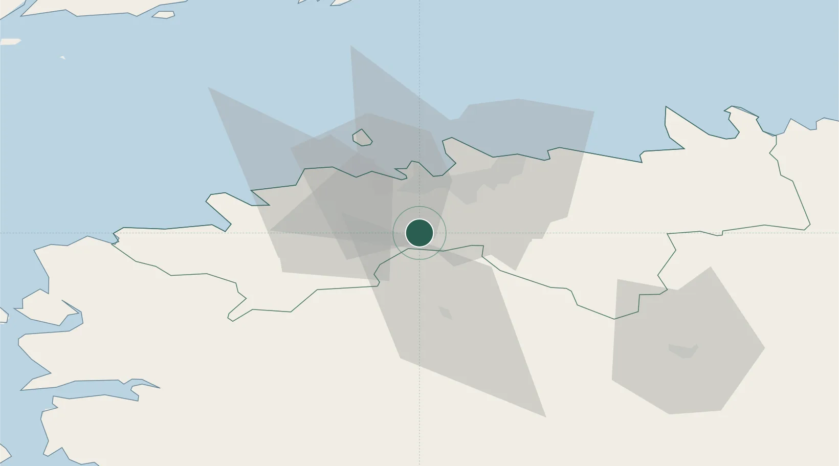
Nearby Logistics Neighbours

Cities
  1. 1Saku4 km
  2. 2Saue11 km
  3. 3Laagri11 km
  4. 4Kohila12 km
  5. 5Aasmäe12 km
Nearest neighbours — logibook spatial index (haversine) over the source coordinates
Ports
  1. 1Meeruse21 km
  2. 2Vanasadam - Port of Tallinn21 km
  3. 3Bekkeri21 km
  4. 4Lahesuu21 km
  5. 5Vene-Balti21 km
Nearest neighbours — logibook spatial index (haversine) over the source coordinates
Airports
  1. 1Lennart Meri Tallinn Airport18 km
  2. 2Tallinn Linnahall Heliport20 km
  3. 3Ämari Air Base28 km
  4. 4Pärnu Airport95 km
  5. 5Kärdla Airport111 km
Nearest neighbours — logibook spatial index (haversine) over the source coordinates
Trade Zones
  1. 1Muuga Free Zone18 km
  2. 2Paldiski Free Zone36 km
  3. 3Freeport of Hanko120 km
  4. 4Port of Sillamäe172 km
  5. 5Port of Hamina-Kotka183 km
Nearest neighbours — logibook spatial index (haversine) over the source coordinates
DatabookThe Record of Consolidated Knowledge
Estonia beyond logistics?
Browse databook

All Sources

LocationsUN/LOCODE
UN/LOCODE — free
LocationsGeoNames
CC BY 4.0
Portsthe NGA World Port Index
Public domain (US gov)
AirportsOurAirports
Public domain
Trade Zonesthe World Bank SEZ database
CC BY 4.0
Trade ZonesOpen Zone Map
CC BY
← Estonia locations