Transport Functions
Rail
Road
Hub Profile
Place type
Provincial seat
Region
Harjumaa
Population
2,694
Time zone
Europe/Tallinn
Elevation
58 m
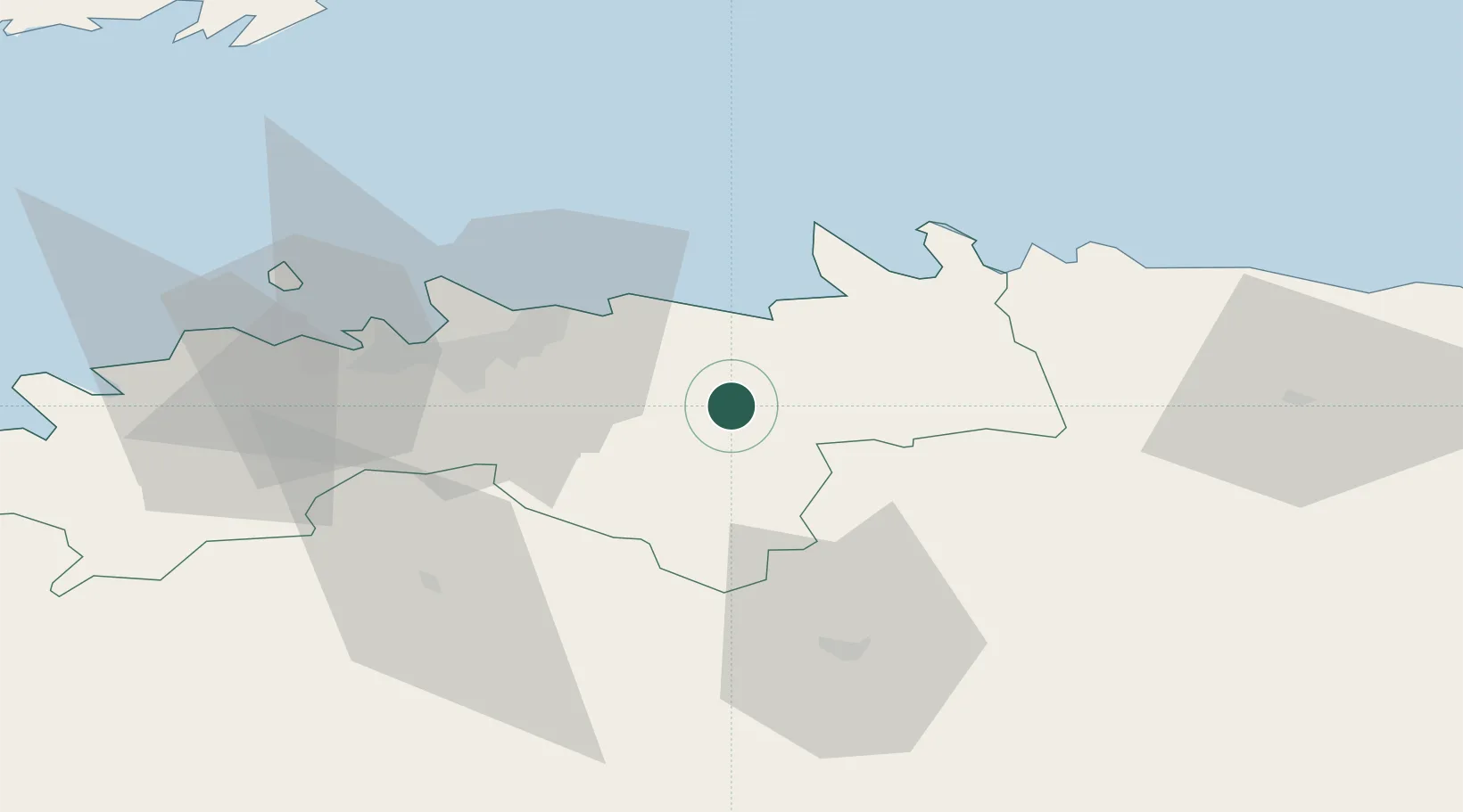
Location
Nearby Logistics Neighbours
Cities
- 1Raasiku10 km
- 2Salmistu19 km
- 3Kaberneeme Sadam21 km
- 4Maardu23 km
- 5Koljunuki23 km
Ports
- 1Muuga-Port of Tallin28 km
- 2Miiduranna35 km
- 3Vanasadam - Port of Tallinn35 km
- 4Loksa35 km
- 5Paljassaare38 km
Airports
- 1Lennart Meri Tallinn Airport30 km
- 2Tallinn Linnahall Heliport35 km
- 3Ämari Air Base65 km
- 4Helsinki Vantaa Airport112 km
- 5Pärnu Airport113 km
Trade Zones
- 1Muuga Free Zone19 km
- 2Paldiski Free Zone71 km
- 3Port of Sillamäe136 km
- 4Freeport of Hanko149 km
- 5Port of Hamina-Kotka155 km
DatabookThe Record of Consolidated Knowledge
Estonia beyond logistics?