Transport Functions
Rail
Road
Hub Profile
Place type
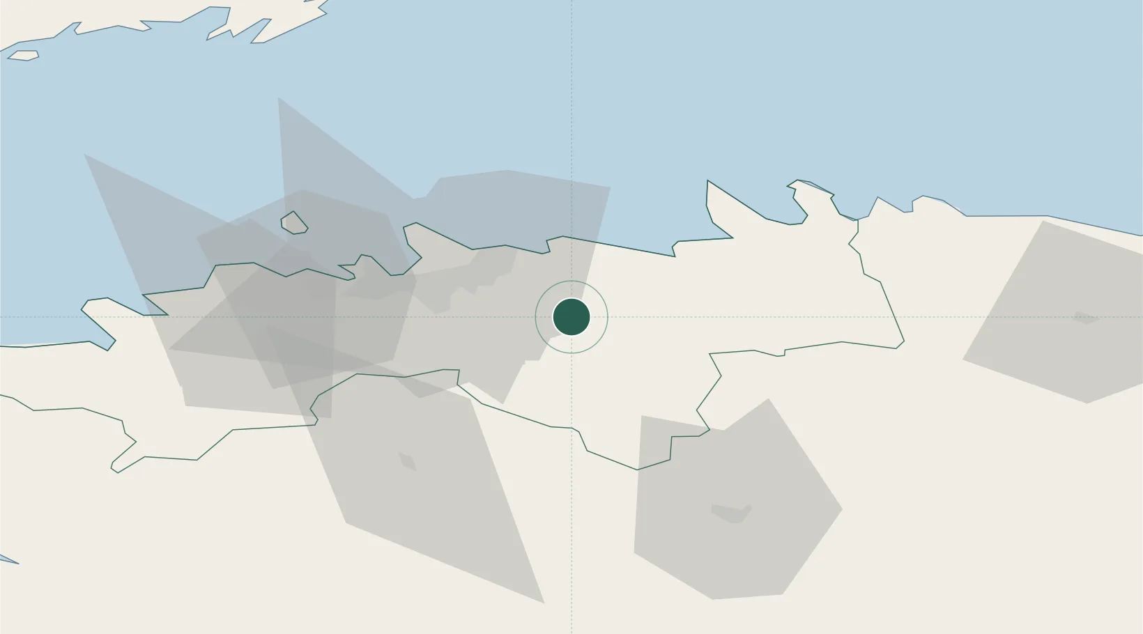
Populated place
Region
Harjumaa
Population
5,161
Time zone
Europe/Tallinn
Elevation
48 m
Location
Nearby Logistics Neighbours
Ports
- 1Muuga-Port of Tallin20 km
- 2Vanasadam - Port of Tallinn25 km
- 3Miiduranna26 km
- 4Paljassaare29 km
- 5Lahesuu29 km
Airports
- 1Lennart Meri Tallinn Airport20 km
- 2Tallinn Linnahall Heliport26 km
- 3Ämari Air Base56 km
- 4Helsinki Vantaa Airport108 km
- 5Pärnu Airport111 km
Trade Zones
- 1Muuga Free Zone11 km
- 2Paldiski Free Zone62 km
- 3Freeport of Hanko139 km
- 4Port of Sillamäe145 km
- 5Port of Hamina-Kotka159 km
DatabookThe Record of Consolidated Knowledge
Estonia beyond logistics?