UN/LOCODE hub · Estonia
EESV6

Soodevahe

59.4000°, 24.8667°
1
Transport functions

Transport Functions

Multimodal
UN/LOCODE

Hub Profile

Place type
Populated place
GeoNames
Region
Harjumaa
GeoNames
Time zone
Europe/Tallinn
GeoNames
Elevation
43 m
GeoNames

Location

Location of EESV6
Natural Earth 10m (public domain) · Harjumaa · EESV6 · 59.40, 24.87GoogleOSMYandex

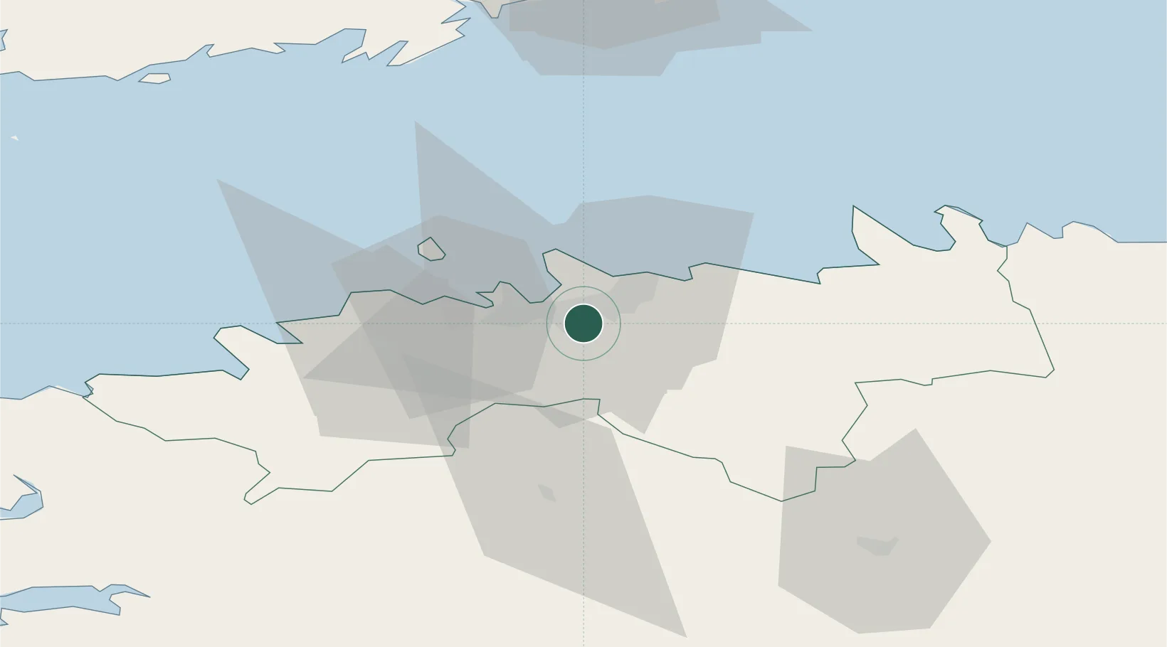
Nearby Logistics Neighbours

Cities
  1. 1Kalevi Jahtklubi8 km
  2. 2Vanasadam8 km
  3. 3Pirita8 km
  4. 4Kalasadam9 km
  5. 5Patareisadam9 km
Nearest neighbours — logibook spatial index (haversine) over the source coordinates
Ports
  1. 1Vanasadam - Port of Tallinn8 km
  2. 2Lahesuu11 km
  3. 3Paljassaare11 km
  4. 4Miiduranna11 km
  5. 5Meeruse12 km
Nearest neighbours — logibook spatial index (haversine) over the source coordinates
Airports
  1. 1Lennart Meri Tallinn Airport2 km
  2. 2Tallinn Linnahall Heliport8 km
  3. 3Ämari Air Base41 km
  4. 4Helsinki Vantaa Airport102 km
  5. 5Pärnu Airport111 km
Nearest neighbours — logibook spatial index (haversine) over the source coordinates
Trade Zones
  1. 1Muuga Free Zone14 km
  2. 2Paldiski Free Zone45 km
  3. 3Freeport of Hanko121 km
  4. 4Port of Sillamäe162 km
  5. 5Port of Hamina-Kotka166 km
Nearest neighbours — logibook spatial index (haversine) over the source coordinates
DatabookThe Record of Consolidated Knowledge
Estonia beyond logistics?
Browse databook

All Sources

LocationsUN/LOCODE
UN/LOCODE — free
Portsthe NGA World Port Index
Public domain (US gov)
AirportsOurAirports
Public domain
Trade Zonesthe World Bank SEZ database
CC BY 4.0
Trade ZonesOpen Zone Map
CC BY
← Estonia locations