Large airport · Egypt

El Alamein International AirportHEAL
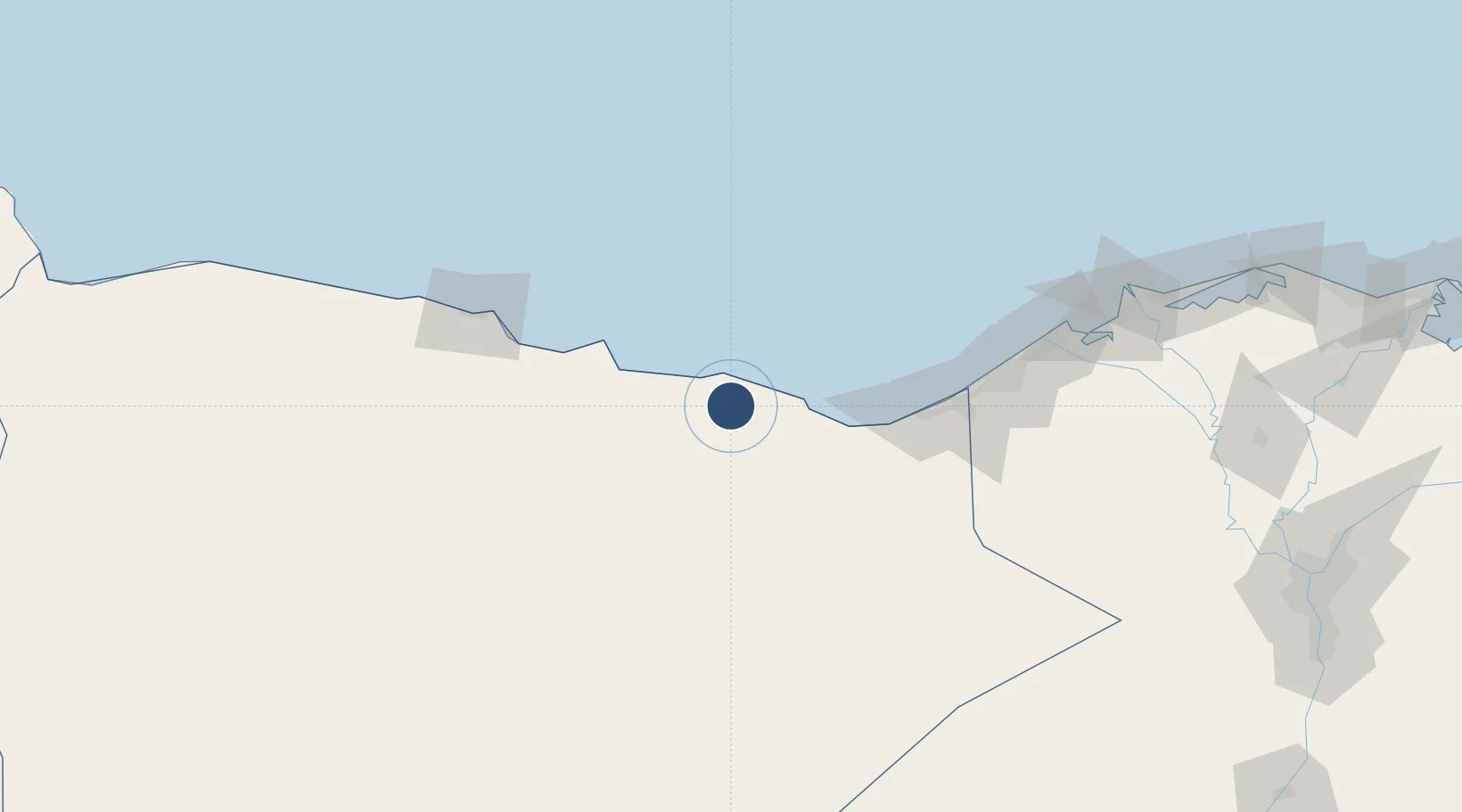
30.9243°, 28.4616°
11,479 ft
Longest runway
1
Runways
154 ft
Elevation

Runway & Layout

El Alamein International Airport runway & taxiway layout
Runway & taxiway layout — OpenStreetMap (ODbL) / OurAirports

Radio Frequencies

TWR
123.4 MHz
GND
121.9 MHz
OurAirports

Navaids

DBA VOR-DME El Daba 115.70 MHz
OurAirports

Runways · 1

RunwayDimensions SurfaceTrue headingLit
13/31 11,479 × 148ft Asphalt 130°
OurAirports

Airport Specifications

IATA code
DBB
OurAirports
ICAO code
HEAL
OurAirports
Airport class
Large airport
OurAirports
Scheduled service
Yes
OurAirports
Runway surface
Asphalt
OurAirports
Served city
El Alamein
OurAirports

Location

Location of HEAL
Natural Earth 10m (public domain) · Matruh · HEAL · 30.92, 28.46GoogleOSMYandex

Nearby Logistics Neighbours

Airports
  1. 1Alexandria International Airport118 km
  2. 2Mersa Matruh International Airport126 km
  3. 3Jiyanklis Air Base166 km
  4. 4Gebel El Basur Air Base205 km
  5. 5Birma Air Base236 km
Nearest neighbours — logibook spatial index (haversine) over the source coordinates
Cities
  1. 1Porto Marina El Alamein51 km
  2. 2Burj al Arab104 km
  3. 3El Iskandariya (Alexandria)137 km
  4. 4Abu Kir160 km
  5. 5Idku180 km
Nearest neighbours — logibook spatial index (haversine) over the source coordinates
Ports
  1. 1El Hamra Oil Terminal39 km
  2. 2Sidi Kerir (Kurayr)116 km
  3. 3Mersa Matruh126 km
  4. 4Al Iskandariyh (Alexandria)133 km
  5. 5Abu Qir160 km
Nearest neighbours — logibook spatial index (haversine) over the source coordinates
Trade Zones
  1. 1New Alamein City Investment Zone44 km
  2. 2Alexandria Public Free Zone126 km
  3. 3Venus International Free Zone130 km
  4. 4Shebin El-koom Public Free Zone246 km
  5. 5Banha Investment Zone266 km
Nearest neighbours — logibook spatial index (haversine) over the source coordinates
DatabookThe Record of Consolidated Knowledge
Egypt beyond logistics?
Browse databook

All Sources

AirportsOurAirports
Public domain
Portsthe NGA World Port Index
Public domain (US gov)
LocationsUN/LOCODE
UN/LOCODE — free
Trade Zonesthe World Bank SEZ database
CC BY 4.0
Trade ZonesOpen Zone Map
CC BY
InfrastructureOpenStreetMap
ODbL 1.0
← Egypt airports