Free Trade Zone · Nigeria

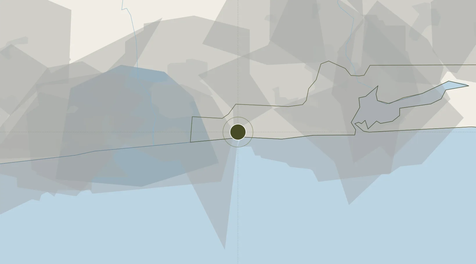
Badagry Free Zone (Maritime Economic City) Active

6.4103°, 2.9013°
1,100 ha
Zone area
50.0 km
Nearest port
50.0 km
Nearest airport

Gateway access

Nearest neighbours — logibook spatial index (haversine) over the source coordinates

Zone profile

Zone type
Free Trade Zone
Open Zone Map
Region
Lagos
Open Zone Map
Status
Active
Open Zone Map
Management
Public-Private Partnership
Open Zone Map
Operator
Badagry Free Zone Management Ltd.
Open Zone Map
Legal framework
Section 10 (4) of the Nigeria Export Processing Zones Act No 63 of 1992
Open Zone Map

Location

Location of ozm-2975
Natural Earth 10m (public domain) · Lagos · ozm-2975 · 6.41, 2.90GoogleOSMYandex

Nearby Logistics Neighbours

Ports
  1. 1Tin Can Island50 km
  2. 2Cotonou52 km
  3. 3Lagos55 km
  4. 4Kpeme155 km
  5. 5Lome182 km
Nearest neighbours — logibook spatial index (haversine) over the source coordinates
Airports
  1. 1Murtala Muhammed International Airport50 km
  2. 2Cotonou Cadjehoun International Airport57 km
  3. 3Ibadan Airport159 km
  4. 4Lomé–Tokoin International Airport184 km
  5. 5Ho Airport262 km
Nearest neighbours — logibook spatial index (haversine) over the source coordinates
Cities
  1. 1Akoko19 km
  2. 2Ado Odo21 km
  3. 3Porto-Novo33 km
  4. 4Igando42 km
  5. 5Agboju42 km
Nearest neighbours — logibook spatial index (haversine) over the source coordinates
Trade Zones
  1. 1Badagry Creek Integrated Industrial Park5 km
  2. 2Sèmè-Podji Free Industrial Zone29 km
  3. 3Free Processing Zone of Benin30 km
  4. 4Ogun Guandong Free Trade Zone30 km
  5. 5Seme-Podji Export Processing Zone36 km
Nearest neighbours — logibook spatial index (haversine) over the source coordinates
DatabookThe Record of Consolidated Knowledge
Nigeria beyond logistics?
Browse databook

All Sources

Trade ZonesOpen Zone Map
CC BY
Portsthe NGA World Port Index
Public domain (US gov)
AirportsOurAirports
Public domain
LocationsUN/LOCODE
UN/LOCODE — free
← Nigeria trade zones