Transport Functions
Rail
Airport
Postal
Hub Profile
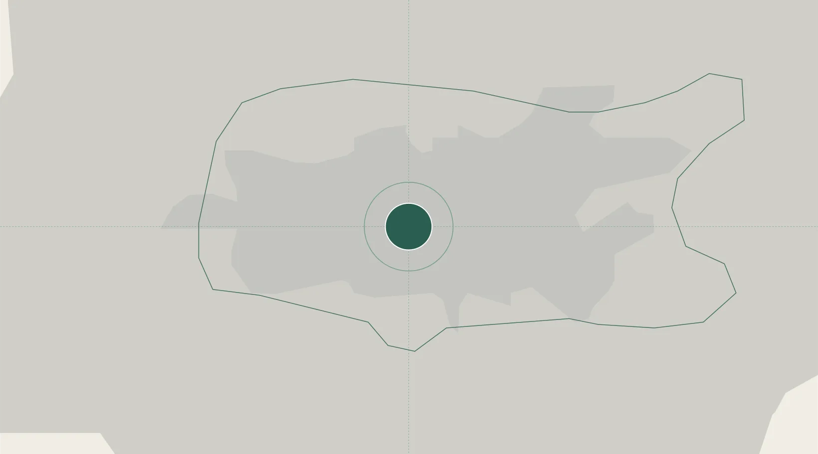
Place type
National capital
Region
Minsk City
Population
1,742,124
Time zone
Europe/Minsk
Elevation
222 m
Logistics facilities
3
Location
Nearby Logistics Neighbours
Cities
- 1Gatovo13 km
- 2Lahoysk40 km
- 3Zhodino57 km
- 4Maladzyechna65 km
- 5Barysaw71 km
Ports
- 1Riga404 km
- 2Klaipeda459 km
- 3Kaliningrad467 km
- 4Salacgriva468 km
- 5Butinge Oil Terminal484 km
Airports
- 1Minsk National Airport32 km
- 2Baranavichi Air Base133 km
- 3Babruisk Air Base140 km
- 4Mogilev Airport167 km
- 5Vilnius International Airport169 km
DatabookThe Record of Consolidated Knowledge
Belarus beyond logistics?