Transport Functions
Rail
Road
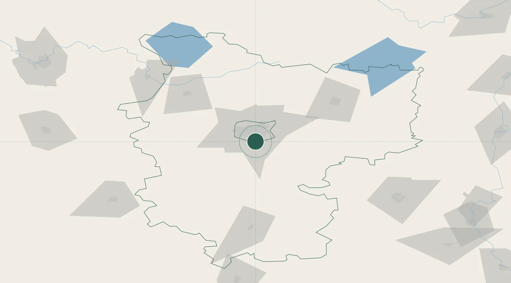
Location
Nearby Logistics Neighbours
Cities
- 1Minsk13 km
- 2Lahoysk49 km
- 3Zhodino60 km
- 4Starye Dorogi62 km
- 5Barysaw74 km
Ports
- 1Riga416 km
- 2Klaipeda469 km
- 3Kaliningrad474 km
- 4Salacgriva481 km
- 5Butinge Oil Terminal494 km
Airports
- 1Minsk National Airport30 km
- 2Baranavichi Air Base129 km
- 3Babruisk Air Base129 km
- 4Mogilev Airport164 km
- 5Vilnius International Airport179 km
DatabookThe Record of Consolidated Knowledge
Belarus beyond logistics?