Export Processing Zone · Dominican Republic

Zona Franca Industrial Riosur Active
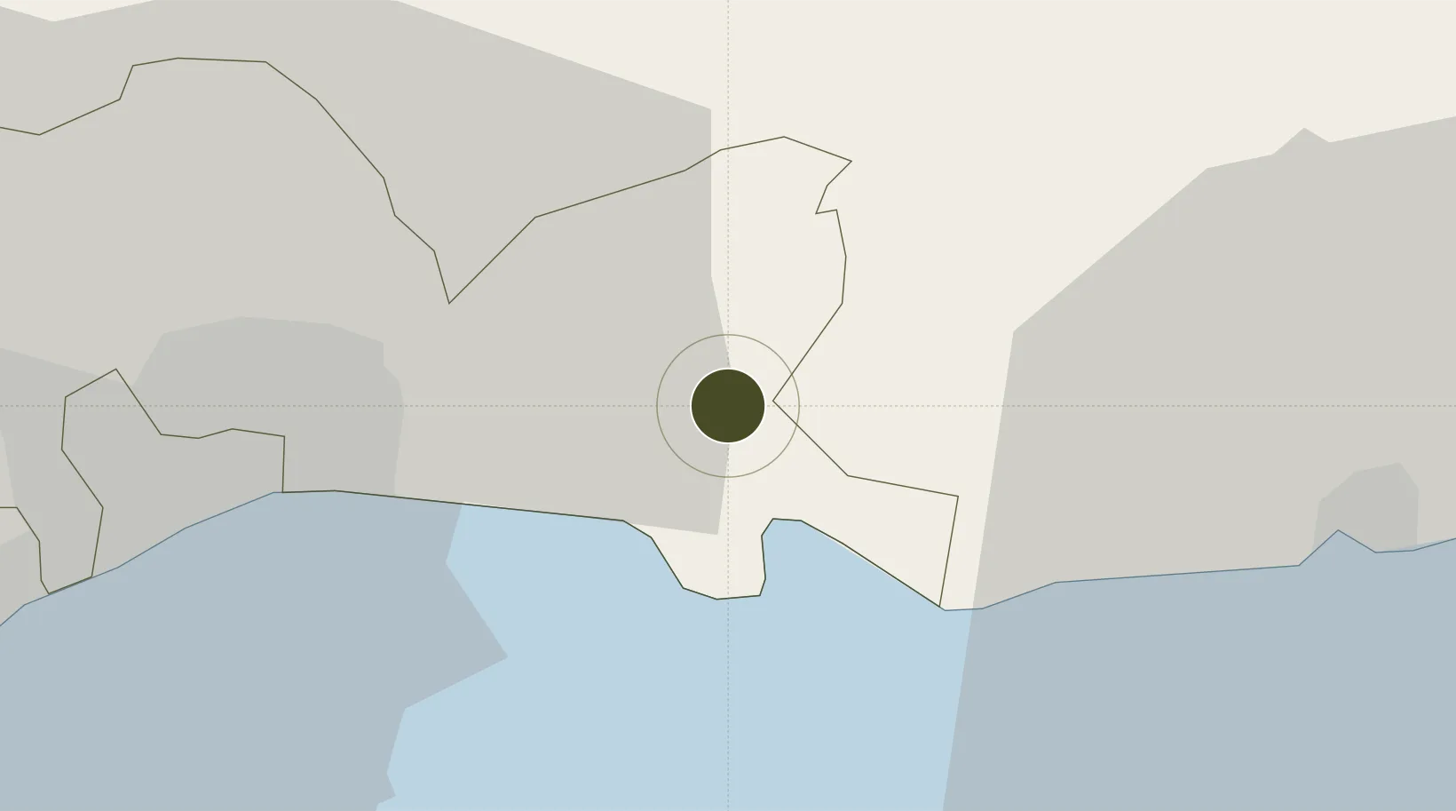
18.5173°, -69.6410°
1 ha
Zone area
9.4 km
Nearest port
10.2 km
Nearest airport

Gateway access

Nearest neighbours — logibook spatial index (haversine) over the source coordinates

Zone profile

Zone type
Export Processing Zone
Open Zone Map
Region
Santo Domingo
Open Zone Map
Status
Active
Open Zone Map
Management
Private
Open Zone Map
Operator
Comercial Riosur, S.R.L
Open Zone Map
Legal framework
Law 8-90, Amended in December 2007
Open Zone Map

Location

Location of ozm-1767
Natural Earth 10m (public domain) · Santo Domingo · ozm-1767 · 18.52, -69.64GoogleOSMYandex

Nearby Logistics Neighbours

Ports
  1. 1Andres (Andres Lng Terminal)9 km
  2. 2Santo Domingo26 km
  3. 3San Pedro De Macoris35 km
  4. 4Puerto De Haina41 km
  5. 5La Romana72 km
Nearest neighbours — logibook spatial index (haversine) over the source coordinates
Airports
  1. 1Las Américas International Airport10 km
  2. 2San Isidro Air Base13 km
  3. 3Los Llanos de Sabanatosa Airport15 km
  4. 4La Isabela International Airport37 km
  5. 5Casa De Campo International Airport77 km
Nearest neighbours — logibook spatial index (haversine) over the source coordinates
Cities
  1. 1Guerra7 km
  2. 2Caucedo9 km
  3. 3San Isidro13 km
  4. 4Hainamosa20 km
  5. 5Juan Dolio26 km
Nearest neighbours — logibook spatial index (haversine) over the source coordinates
DatabookThe Record of Consolidated Knowledge
Dominican Republic beyond logistics?
Browse databook

All Sources

Trade ZonesOpen Zone Map
CC BY
Portsthe NGA World Port Index
Public domain (US gov)
AirportsOurAirports
Public domain
LocationsUN/LOCODE
UN/LOCODE — free
← Dominican Republic trade zones