Transport Functions
Multimodal
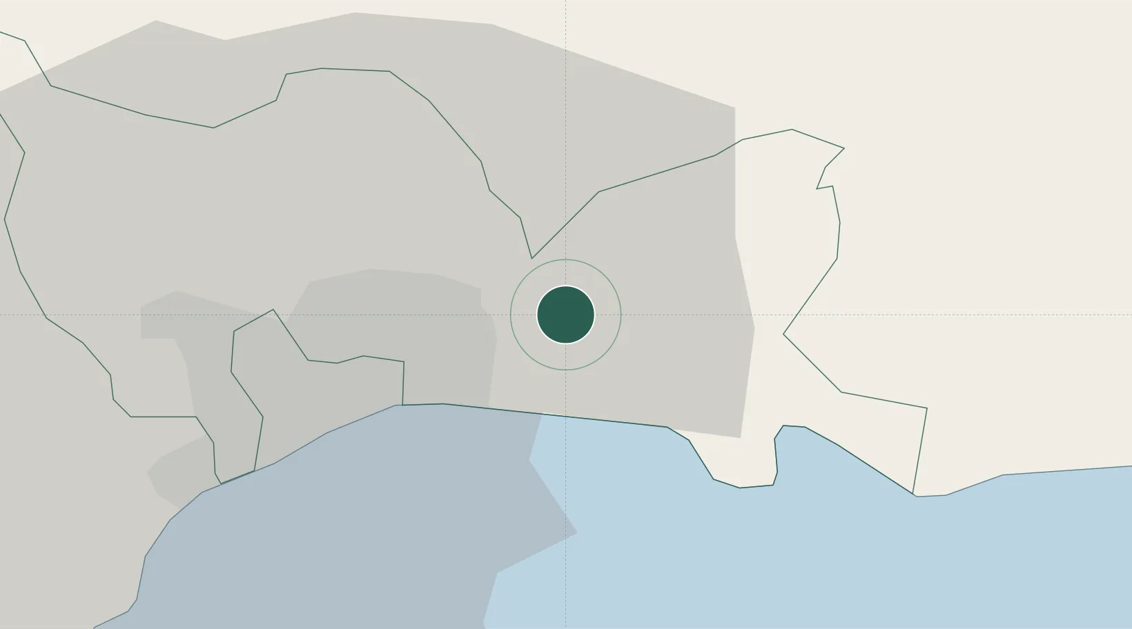
Hub Profile
Place type
Populated place
Region
Santo Domingo Province
Time zone
America/Santo_Domingo
Elevation
6 m
Location
Nearby Logistics Neighbours
Cities
- 1Guerra7 km
- 2Hainamosa7 km
- 3Villa Mella14 km
- 4San Carlos15 km
- 5Santo Domingo17 km
Ports
- 1Santo Domingo14 km
- 2Andres (Andres Lng Terminal)18 km
- 3Puerto De Haina29 km
- 4San Pedro De Macoris48 km
- 5Sanchez79 km
Airports
DatabookThe Record of Consolidated Knowledge
Dominican Republic beyond logistics?