Channel & Berth Profile
Pilotage, Tugs & Services
Pilotage compulsoryYES
Pilotage availableYES
Tug assistanceYES
Salvage tugsNO
Potable waterYES
Diesel bunkersYES
MedicalYES
Facilities & Capabilities
Container—
Ro-Ro—
Liquid bulk—
Dry bulk—
Oil terminal—
Break bulk—
Dry dockNO
RepairsNO
BunkeringYES
Rail link—
Dangerous cargo—
ISPS security—
Harbour Specifications
Harbour size
Small
Harbour type
River (Natural)
Shelter
Good
Water body
Caribbean Sea; North Atlantic Ocean
Tidal range
1 m
Overhead limit
Yes
Pilotage
Yes
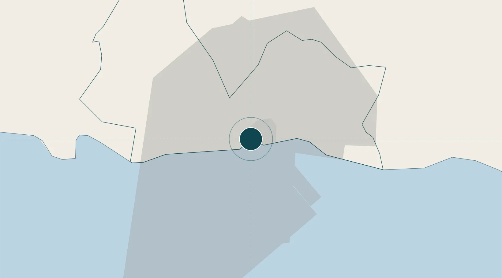
Location
Nearby Logistics Neighbours
Ports
- 1Andres (Andres Lng Terminal)34 km
- 2La Romana37 km
- 3Santo Domingo60 km
- 4Puerto De Haina74 km
- 5Santa Barbara De Samana83 km
Cities
- 1Juan Dolio11 km
- 2Caucedo35 km
- 3Catalina Island35 km
- 4Guerra42 km
- 5Casa de Campo44 km
Airports
DatabookThe Record of Consolidated Knowledge
Dominican Republic beyond logistics?