Transport Functions
Multimodal
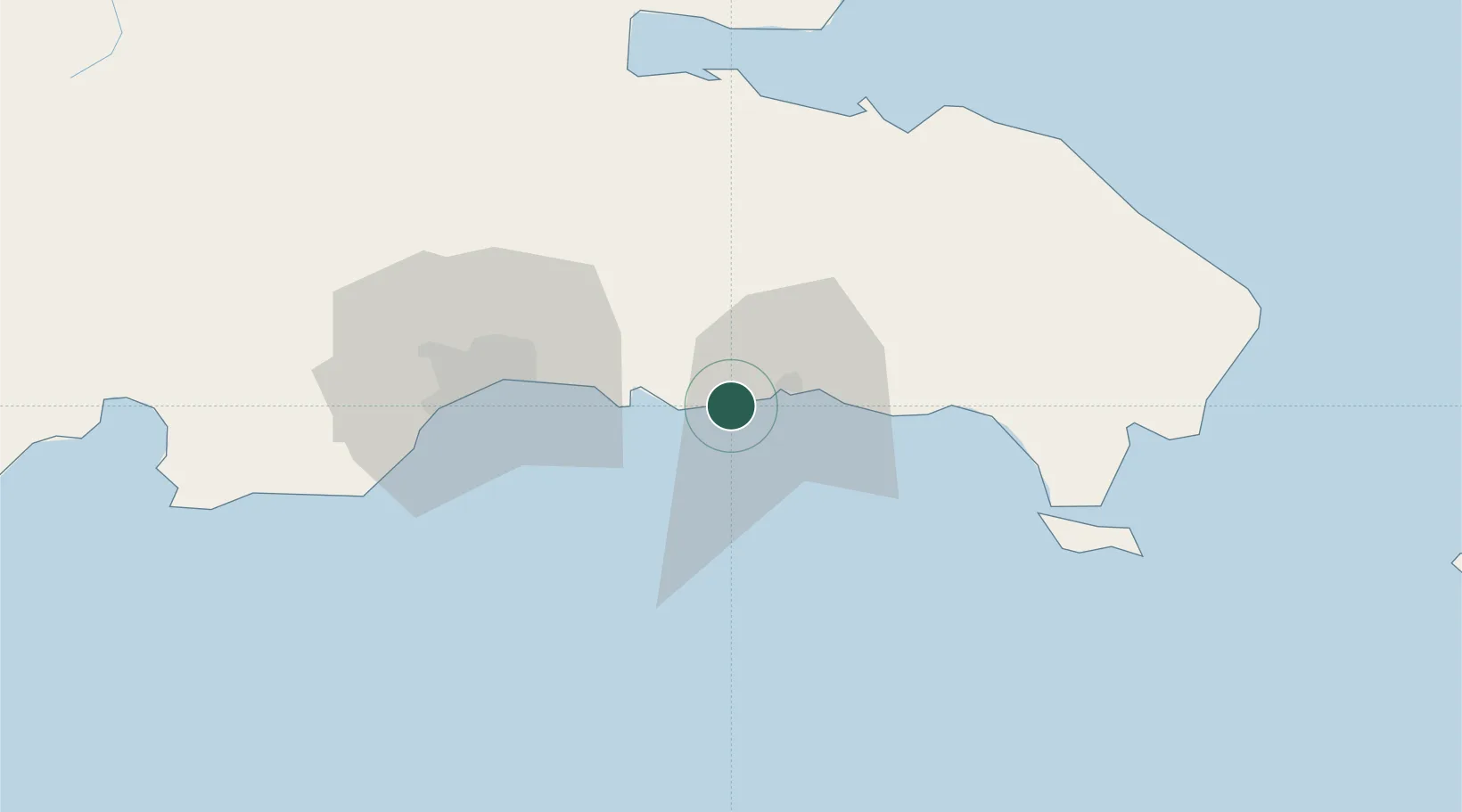
Hub Profile
Place type
Populated place
Region
San Pedro de Macorís
Time zone
America/Santo_Domingo
Elevation
9 m
Location
Nearby Logistics Neighbours
Cities
- 1San Pedro de Macorís13 km
- 2Caucedo24 km
- 3Guerra33 km
- 4San Isidro39 km
- 5Catalina Island44 km
Ports
- 1San Pedro De Macoris11 km
- 2Andres (Andres Lng Terminal)23 km
- 3La Romana48 km
- 4Santo Domingo50 km
- 5Puerto De Haina63 km
Airports
DatabookThe Record of Consolidated Knowledge
Dominican Republic beyond logistics?