Free Trade Zone · Dominican Republic

Excel Boca Chica Industrial Free Zone Under Development
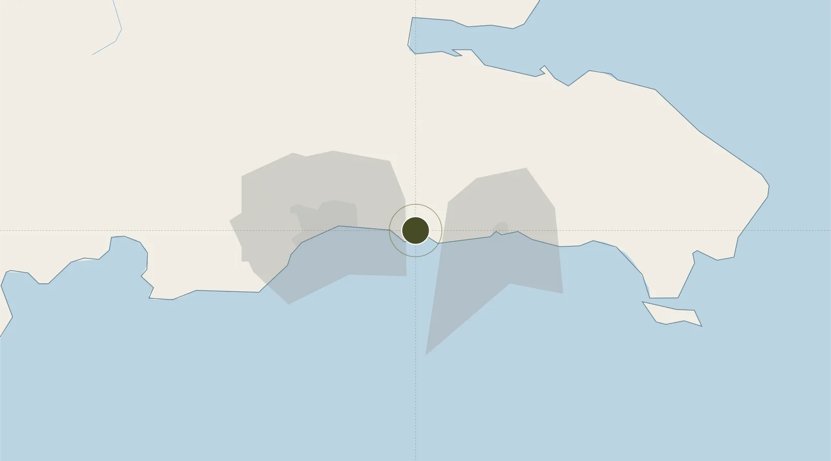
18.4545°, -69.6057°
4 ha
Zone area
3.7 km
Nearest port
7.2 km
Nearest airport

Gateway access

Nearest neighbours — logibook spatial index (haversine) over the source coordinates

Zone profile

Zone type
Free Trade Zone
Open Zone Map
Region
Santo Domingo
Open Zone Map
Status
Under Development
Open Zone Map
Management
Private
Open Zone Map
Operator
Atlantic Boca Chica, S.R.L
Open Zone Map
Legal framework
Law 8-90, Amended in December 2007
Open Zone Map

Location

Location of ozm-1824
Natural Earth 10m (public domain) · Santo Domingo · ozm-1824 · 18.45, -69.61GoogleOSMYandex

Nearby Logistics Neighbours

Ports
  1. 1Andres (Andres Lng Terminal)4 km
  2. 2Santo Domingo29 km
  3. 3San Pedro De Macoris31 km
  4. 4Puerto De Haina44 km
  5. 5La Romana68 km
Nearest neighbours — logibook spatial index (haversine) over the source coordinates
Airports
  1. 1Las Américas International Airport7 km
  2. 2San Isidro Air Base17 km
  3. 3Los Llanos de Sabanatosa Airport18 km
  4. 4La Isabela International Airport42 km
  5. 5Casa De Campo International Airport73 km
Nearest neighbours — logibook spatial index (haversine) over the source coordinates
Cities
  1. 1Caucedo5 km
  2. 2Guerra15 km
  3. 3San Isidro19 km
  4. 4Juan Dolio20 km
  5. 5Hainamosa25 km
Nearest neighbours — logibook spatial index (haversine) over the source coordinates
DatabookThe Record of Consolidated Knowledge
Dominican Republic beyond logistics?
Browse databook

All Sources

Trade ZonesOpen Zone Map
CC BY
Portsthe NGA World Port Index
Public domain (US gov)
AirportsOurAirports
Public domain
LocationsUN/LOCODE
UN/LOCODE — free
← Dominican Republic trade zones