Large airport · Dominican Republic

Casa De Campo International AirportMDLR
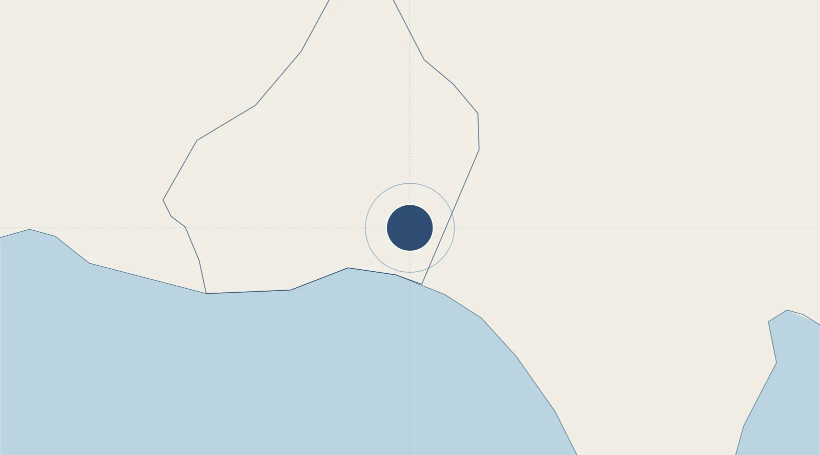
18.4522°, -68.9111°
9,678 ft
Longest runway
1
Runways
213 ft
Elevation

Runway & Layout

Casa De Campo International Airport runway & taxiway layout
Runway & taxiway layout — OpenStreetMap (ODbL) / OurAirports

Radio Frequencies

TWR
118.6 MHz
LA ROMANA TWR
OurAirports

Navaids

LRN VOR-DME La Romana 116.20 MHz
LRN NDB La Romana 325 kHz
OurAirports

Runways · 1

RunwayDimensions SurfaceTrue headingLit
11/29 9,678 × 148ft Concrete 109°
OurAirports

Airport Specifications

IATA code
LRM
OurAirports
ICAO code
MDLR
OurAirports
Airport class
Large airport
OurAirports
Scheduled service
Yes
OurAirports
Runway surface
Concrete
OurAirports
Served city
La Romana
OurAirports

Location

Location of MDLR
Natural Earth 10m (public domain) · La Romana · MDLR · 18.45, -68.91GoogleOSMYandex

Nearby Logistics Neighbours

Airports
  1. 1Punta Cana International Airport59 km
  2. 2Los Llanos de Sabanatosa Airport67 km
  3. 3Las Américas International Airport80 km
  4. 4San Isidro Air Base90 km
  5. 5La Isabela International Airport114 km
Nearest neighbours — logibook spatial index (haversine) over the source coordinates
Cities
  1. 1Casa de Campo6 km
  2. 2Catalina Island13 km
  3. 3San Pedro de Macorís41 km
  4. 4Juan Dolio54 km
  5. 5Caucedo77 km
Nearest neighbours — logibook spatial index (haversine) over the source coordinates
Ports
  1. 1La Romana7 km
  2. 2San Pedro De Macoris43 km
  3. 3Andres (Andres Lng Terminal)76 km
  4. 4Santa Barbara De Samana94 km
  5. 5Santo Domingo103 km
Nearest neighbours — logibook spatial index (haversine) over the source coordinates
Trade Zones
  1. 1La Romana I Industrial Free Zone6 km
  2. 2Zona Franca La Romana7 km
  3. 3La Romana II Industrial Free Zone7 km
  4. 4Zona Franca Industrial Higuey27 km
  5. 5Zona Franca Industrial El Seibo38 km
Nearest neighbours — logibook spatial index (haversine) over the source coordinates
DatabookThe Record of Consolidated Knowledge
Dominican Republic beyond logistics?
Browse databook

All Sources

AirportsOurAirports
Public domain
Portsthe NGA World Port Index
Public domain (US gov)
LocationsUN/LOCODE
UN/LOCODE — free
Trade Zonesthe World Bank SEZ database
CC BY 4.0
Trade ZonesOpen Zone Map
CC BY
InfrastructureOpenStreetMap
ODbL 1.0
← Dominican Republic airports