Free Zone · Dominican Republic

Las Américas Industrial Free Zone Active
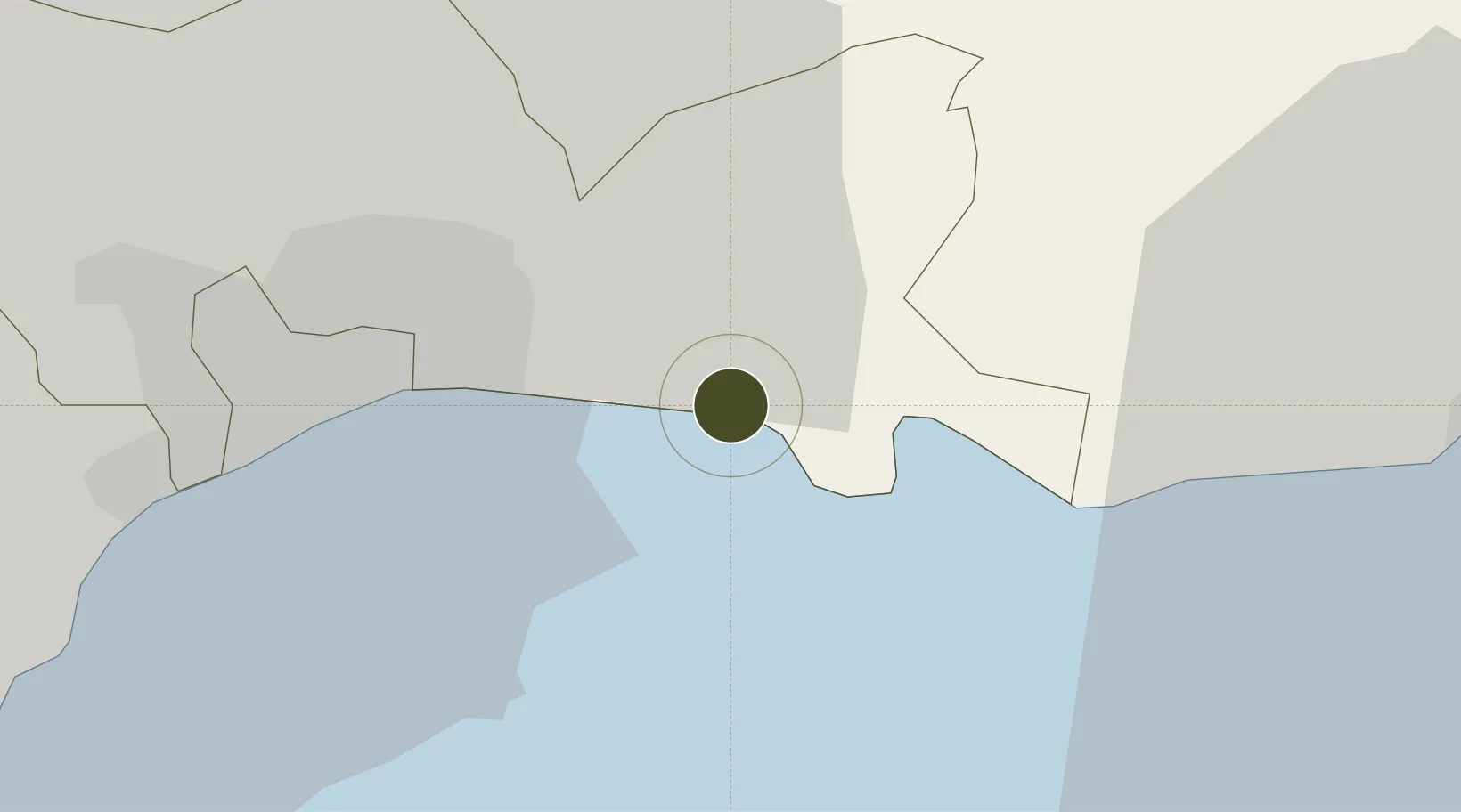
18.4627°, -69.7092°
94 ha
Zone area
8.6 km
Nearest port
5.6 km
Nearest airport

Gateway access

Nearest neighbours — logibook spatial index (haversine) over the source coordinates

Zone profile

Zone type
Free Zone
the World Bank SEZ database
Region
Santo Domingo
the World Bank SEZ database
Status
Active
the World Bank SEZ database
Established
1989
the World Bank SEZ database
Management
Private management
the World Bank SEZ database
Operator
Zona Franca Las Americas, S. A.
the World Bank SEZ database
Regulatory authority
Consejo Nacional de Zonas Francas de Exportacion
the World Bank SEZ database
Legal framework
Free Zones Law 8-90
the World Bank SEZ database

Location

Location of DOM7
Natural Earth 10m (public domain) · Santo Domingo · DOM7 · 18.46, -69.71GoogleOSMYandex

Fiscal & incentives

Corporate tax
27%
the World Bank SEZ database
Tax relief
100% exempt
the World Bank SEZ database
Relief duration
15 years
the World Bank SEZ database
VAT
No exemption
the World Bank SEZ database
Import duty (inputs)
100% exempt
the World Bank SEZ database
Import duty (capex)
100% exempt
the World Bank SEZ database
Profit repatriation
No exemption
the World Bank SEZ database
Capital gains
No exemption
the World Bank SEZ database
Withholding tax
No exemption
the World Bank SEZ database
Min. investment
None
the World Bank SEZ database
Min. export
80% for products and serviced produced locally only
the World Bank SEZ database
Employment incentive
No exemption
the World Bank SEZ database
Developer incentive
Yes
the World Bank SEZ database

Nearby Logistics Neighbours

Ports
  1. 1Andres (Andres Lng Terminal)9 km
  2. 2Santo Domingo18 km
  3. 3Puerto De Haina33 km
  4. 4San Pedro De Macoris41 km
  5. 5La Romana79 km
Nearest neighbours — logibook spatial index (haversine) over the source coordinates
Airports
  1. 1Las Américas International Airport6 km
  2. 2San Isidro Air Base7 km
  3. 3Los Llanos de Sabanatosa Airport24 km
  4. 4La Isabela International Airport32 km
  5. 5Casa De Campo International Airport84 km
Nearest neighbours — logibook spatial index (haversine) over the source coordinates
Cities
  1. 1Caucedo8 km
  2. 2Guerra10 km
  3. 3San Isidro10 km
  4. 4Hainamosa14 km
  5. 5Santo Domingo19 km
Nearest neighbours — logibook spatial index (haversine) over the source coordinates
DatabookThe Record of Consolidated Knowledge
Dominican Republic beyond logistics?
Browse databook

All Sources

Trade Zonesthe World Bank SEZ database
CC BY 4.0
Portsthe NGA World Port Index
Public domain (US gov)
AirportsOurAirports
Public domain
LocationsUN/LOCODE
UN/LOCODE — free
← Dominican Republic trade zones