UN/LOCODE hub · Dominican Republic
DOCAU
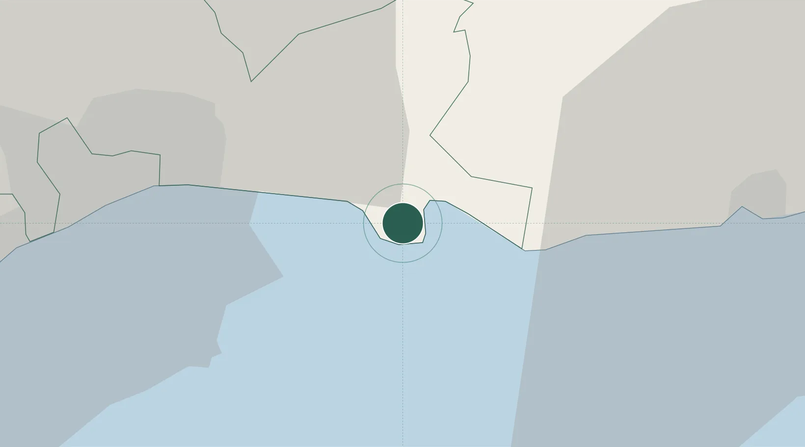
Caucedo
18.4348°, -69.6432°
3
Transport functions
1
Container terminals
Transport Functions
Port
Road
Multimodal
Hub Profile
Place type
Populated place
Region
Santo Domingo Province
Time zone
America/Santo_Domingo
Elevation
7 m
Logistics facilities
4
Container terminals
1
Location
Nearby Logistics Neighbours
Cities
- 1Guerra14 km
- 2San Isidro17 km
- 3Hainamosa22 km
- 4Juan Dolio24 km
- 5Santo Domingo26 km
Ports
- 1Andres (Andres Lng Terminal)1 km
- 2Santo Domingo26 km
- 3San Pedro De Macoris35 km
- 4Puerto De Haina39 km
- 5La Romana71 km
Airports
DatabookThe Record of Consolidated Knowledge
Dominican Republic beyond logistics?