Export Processing Zone · Dominican Republic

Zona Franca Exportación La Armería Active
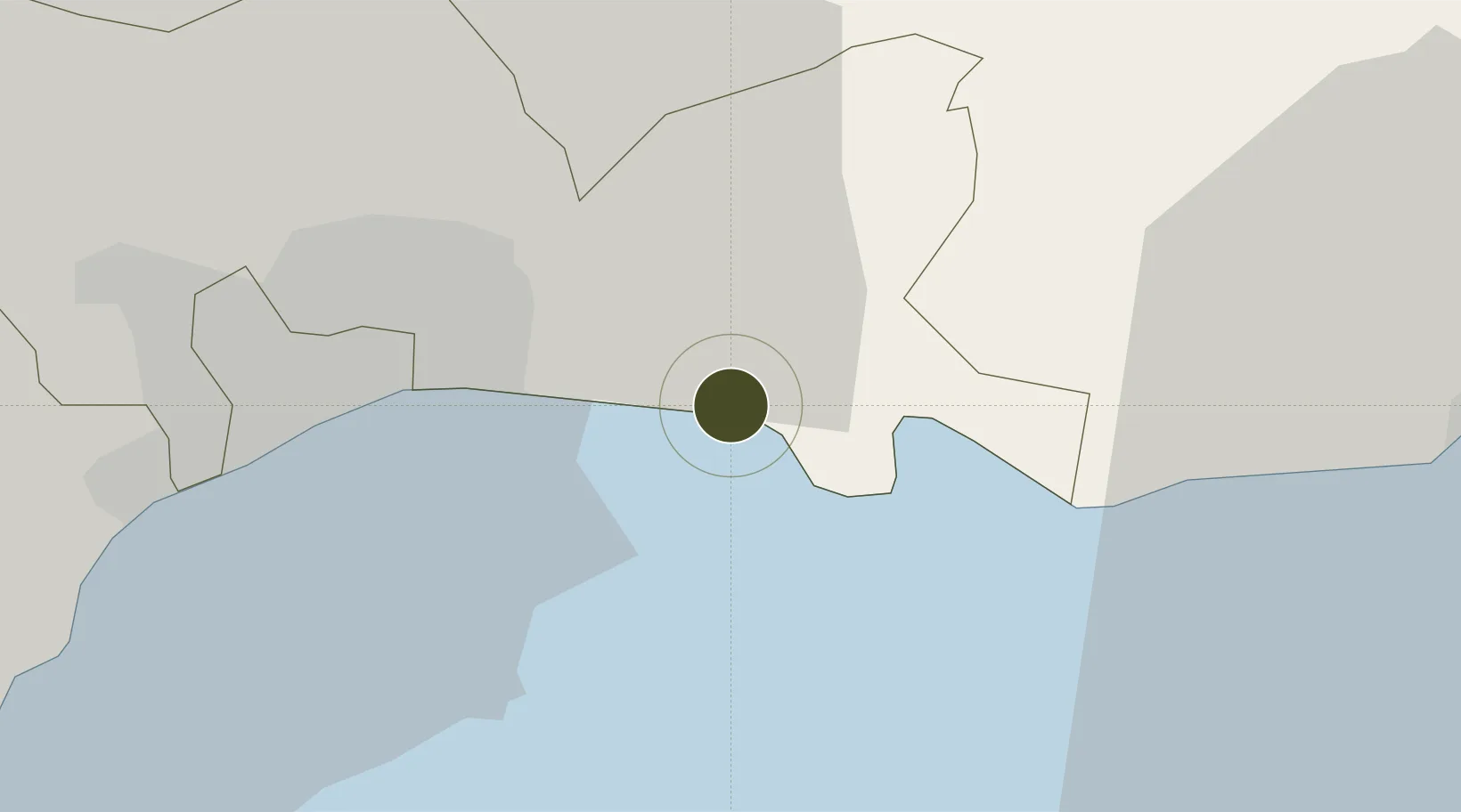
18.4627°, -69.7092°
117 ha
Zone area
8.6 km
Nearest port
5.6 km
Nearest airport

Gateway access

Nearest neighbours — logibook spatial index (haversine) over the source coordinates

Zone profile

Zone type
Export Processing Zone
Open Zone Map
Region
Santo Domingo
Open Zone Map
Status
Active
Open Zone Map
Management
Public
Open Zone Map
Operator
PROINDUSTRIA
Open Zone Map
Legal framework
Law 8-90, Amended in December 2007
Open Zone Map

Location

Location of ozm-1815
Natural Earth 10m (public domain) · Santo Domingo · ozm-1815 · 18.46, -69.71GoogleOSMYandex

Nearby Logistics Neighbours

Ports
  1. 1Andres (Andres Lng Terminal)9 km
  2. 2Santo Domingo18 km
  3. 3Puerto De Haina33 km
  4. 4San Pedro De Macoris41 km
  5. 5La Romana79 km
Nearest neighbours — logibook spatial index (haversine) over the source coordinates
Airports
  1. 1Las Américas International Airport6 km
  2. 2San Isidro Air Base7 km
  3. 3Los Llanos de Sabanatosa Airport24 km
  4. 4La Isabela International Airport32 km
  5. 5Casa De Campo International Airport84 km
Nearest neighbours — logibook spatial index (haversine) over the source coordinates
Cities
  1. 1Caucedo8 km
  2. 2Guerra10 km
  3. 3San Isidro10 km
  4. 4Hainamosa14 km
  5. 5Santo Domingo19 km
Nearest neighbours — logibook spatial index (haversine) over the source coordinates
DatabookThe Record of Consolidated Knowledge
Dominican Republic beyond logistics?
Browse databook

All Sources

Trade ZonesOpen Zone Map
CC BY
Portsthe NGA World Port Index
Public domain (US gov)
AirportsOurAirports
Public domain
LocationsUN/LOCODE
UN/LOCODE — free
← Dominican Republic trade zones