Large airport · Czechia

Leoš Janáček Airport OstravaLKMT
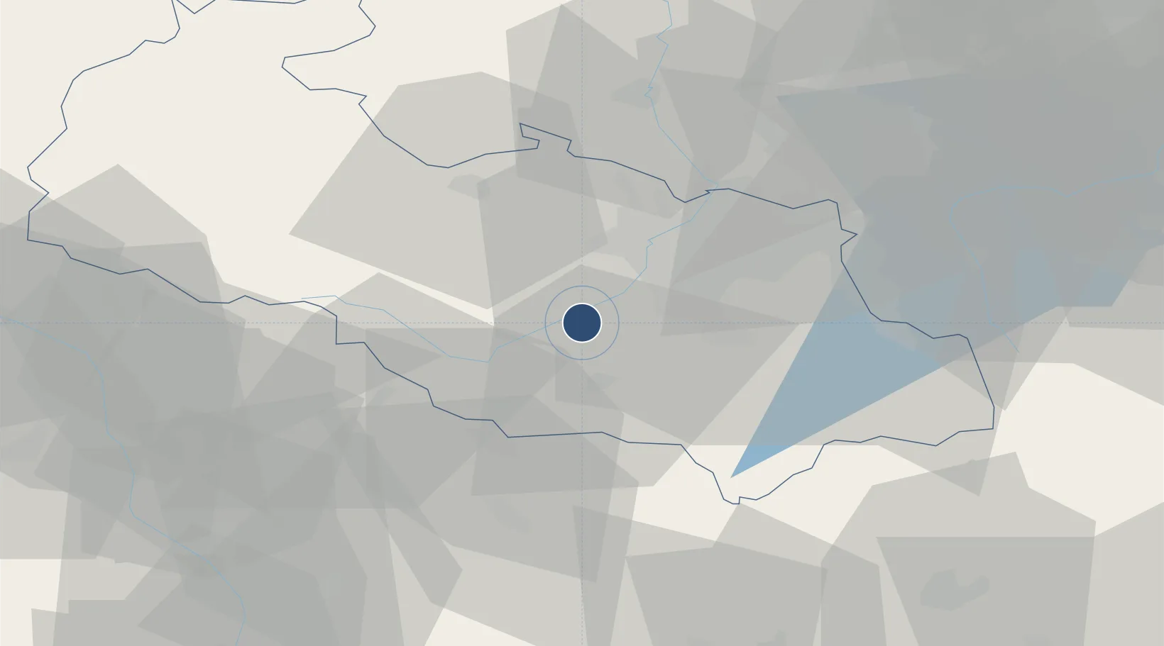
49.6963°, 18.1111°
11,484 ft
Longest runway
1
Runways
844 ft
Elevation

Runway & Layout

Leoš Janáček Airport Ostrava runway & taxiway layout
Runway & taxiway layout — OpenStreetMap (ODbL) / OurAirports

Radio Frequencies

ATIS
118.055 MHz
TWR
120.805 MHz
APP
118.375 MHz
APP
119.375 MHz
OSTRAVA APP
APP
128.525 MHz
OurAirports

Navaids

OTA VOR-DME Ostrava 117.45 MHz
OurAirports

Runways · 1

RunwayDimensions SurfaceTrue headingLit
04/22 11,484 × 207ft Concrete 046°
OurAirports

Airport Specifications

IATA code
OSR
OurAirports
ICAO code
LKMT
OurAirports
Airport class
Large airport
OurAirports
Scheduled service
Yes
OurAirports
Runway surface
Concrete
OurAirports
Served city
Mošnov
OurAirports

Location

Location of LKMT
Natural Earth 10m (public domain) · Moravskoslezský · LKMT · 49.70, 18.11GoogleOSMYandex

Nearby Logistics Neighbours

Airports
  1. 1Přerov Air Base59 km
  2. 2Žilina-Dolný Hričov Airport63 km
  3. 3Kunovice Airport89 km
  4. 4Katowice Wojciech Korfanty International Airport111 km
  5. 5Brno-Tuřany Airport119 km
Nearest neighbours — logibook spatial index (haversine) over the source coordinates
Cities
  1. 1Mosnov1 km
  2. 2Bartosovice6 km
  3. 3Príbor6 km
  4. 4Krmelin9 km
  5. 5Bílovec10 km
Nearest neighbours — logibook spatial index (haversine) over the source coordinates
Ports
  1. 1Szczecin481 km
  2. 2Police495 km
  3. 3Gdansk519 km
  4. 4Nowy Port526 km
  5. 5Kolobrzeg532 km
Nearest neighbours — logibook spatial index (haversine) over the source coordinates
Trade Zones
  1. 1Mošnov Development Area1 km
  2. 2Karvinská Specialized Economic Zone34 km
  3. 3Krnov - Červený Dvůr Municipal Industrial Zone50 km
  4. 4Bruntál Industrial Zone58 km
  5. 5Holešov Industrial Zone58 km
Nearest neighbours — logibook spatial index (haversine) over the source coordinates
DatabookThe Record of Consolidated Knowledge
Czechia beyond logistics?
Browse databook

All Sources

AirportsOurAirports
Public domain
Portsthe NGA World Port Index
Public domain (US gov)
LocationsUN/LOCODE
UN/LOCODE — free
Trade Zonesthe World Bank SEZ database
CC BY 4.0
Trade ZonesOpen Zone Map
CC BY
InfrastructureOpenStreetMap
ODbL 1.0
← Czechia airports